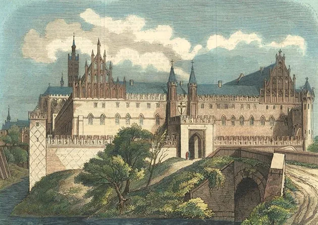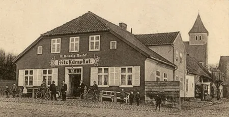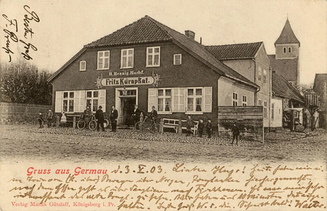
Germau was founded as a castle of the Teutonic Order around 1270, although the fortified Prussian settlement of Girmove had existed here earlier. It is first mentioned in Order documents around 1230. In the winter of 1252–53 a Teutonic army led by Heinrich Stange, Komtur of Christburg, was defeated near Girmove; the Komtur himself and his brother Hermann were killed or taken prisoner.
Initially a Prussian earthen (timber-and-earth) fortification was used as the castle. Documents of 1301 record the first Kammerer of the area, the Prussian nobleman Leikaute. In 1310 the castle began to be rebuilt in stone. By 1321 a mighty quadrangular structure had been erected. From 1331 the castle is mentioned as the centre of the Kammeramt Germau.
In 1463, during the Thirteen Years' War of 1454–66, Germau Castle was captured and destroyed by the people of Elbing and the Poles, after which it was never fully restored. In 1507 Germau is mentioned by Grand Master Frederick of Saxony as a stronghold.
From 1525 Germau Castle became a ducal possession, and from 1581 the residence of the amber administrator; the amber chamber was also moved here from Lochstädt. In 1586 the castle was restored, and in 1644–93 it housed the amber court. Nearby, on the Galgenberg hill, stood a gallows for those who violated the amber monopoly. By 1693 the castle had fallen into complete disrepair, and the amber court and chamber moved to Palmnicken (Yantarny).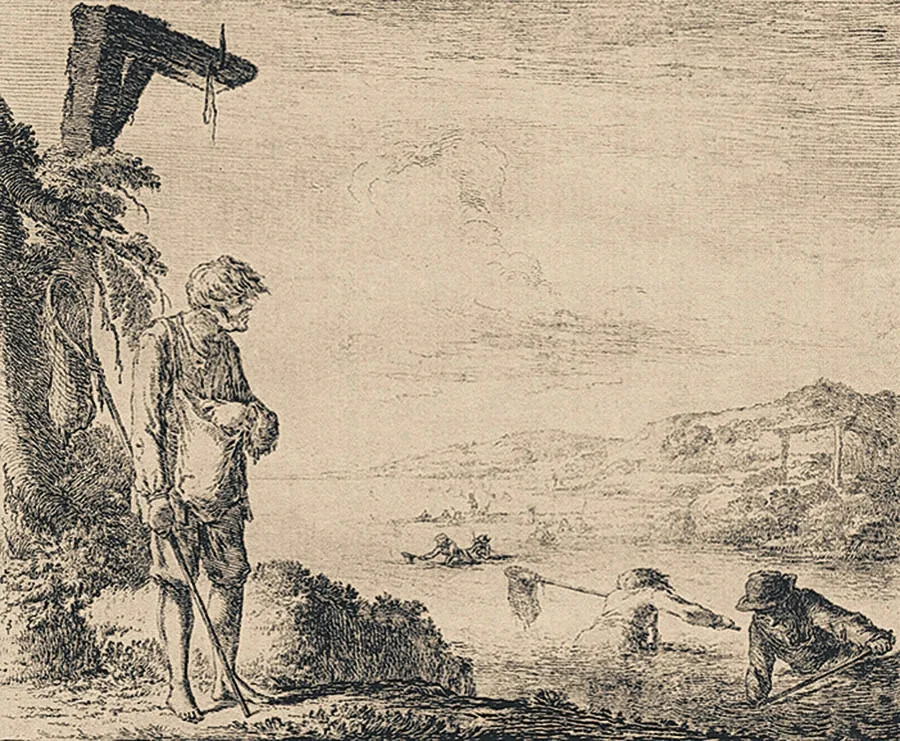
At the end of the 17th century the castle began to be actively dismantled for building materials; by 1760 only one wing remained, which was thoroughly repaired and turned into a church.
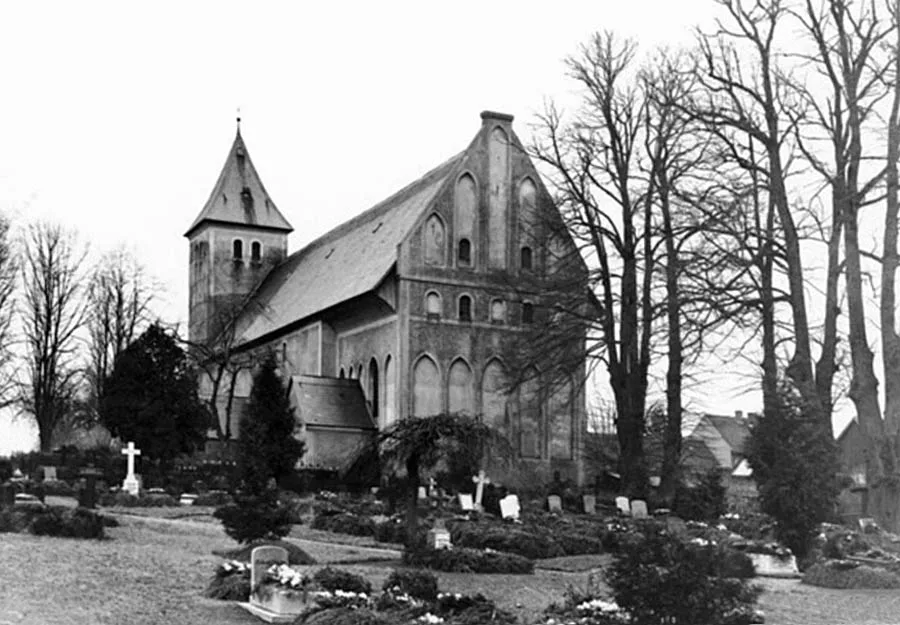
In the 19th century Germau was a village forming a rural community in the Landkreis Fischhausen (from 1939 the Landkreis Samland). Germau church was the parish church for the surrounding villages and estates.
In 1874 Amtsbezirk No. 9 Germau was established in the Landkreis Fischhausen, comprising four rural communities: Germau (Russkoye), Krattlau (Sychyovo), Lengnieten (Shchorsovo) and Willkau (Yeniseyevo), as well as two Gutsbezirke: Kirpehnen (Povarovka) and Trulick (Aleksino). Residents of Germau held the post of head of the Amtsbezirk in 1913–31 (the community headman Felchner) and in 1931–45 (the postman Wölk). On 30 September 1928 the Germau community (Russkoye) was merged with the Krattlau community (Sychyovo), the Gutsbezirke Trulick (Aleksino) and Kirpehnen (Povarovka), and the Gutsbezirk Sacherau (Morozovka) from the Amtsbezirk Gauten (Putilovo) into a new rural community of Germau (Russkoye). On 17 October 1928 the Willkau community (Yeniseyevo) was incorporated into the rural community of Lengnieten (Shchorsovo). As a result, the Amtsbezirk Germau came to consist of two rural communities, Germau (Russkoye) and Lengnieten (Shchorsovo), and its composition did not change again until 1945.
From 1928 the rural community of Germau comprised: the villages of Germau (Russkoye) and Krattlau (Sychyovo); the estates of Trulick (Aleksino), Sacherau (Morozovka) and Kirpehnen (Povarovka); the Vorwerke Annchenthal (54°49'58'' N 20°02'58'' E), Ellerhaus (54°48'58'' N 20°03'06'' E) and Panjes (Osokino); and the Germau-Kirpehnen railway station (Russkoye halt). In 1936–42 Germau church was repaired for the last time.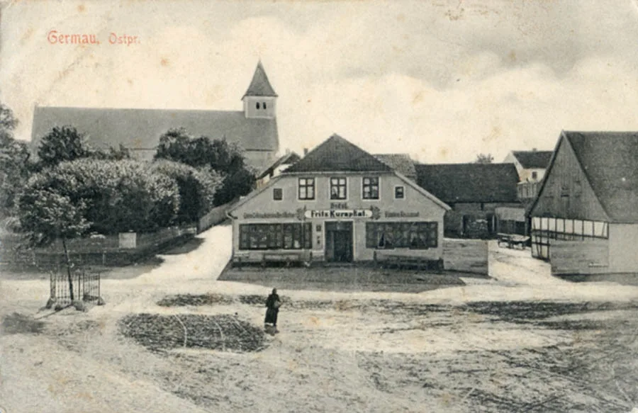
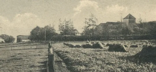
Before the Second World War the village had a dairy plant, and a windmill stood on the south-eastern edge of the village.
On the night of 1–2 February 1945 Germau was taken by troops of the 91st Rifle Division and the 435th Self-Propelled Artillery Regiment, who drove out units of the German 9th Army Corps and the Volkssturm. After that, in February 1945, the 91st Rifle Division was encircled in Germau and forced to retreat. Germau was taken again on 16 April 1945.
On 17 November 1947 Germau was renamed the settlement of Russkoye. Initially it was part of the Yantarny Village Council. In 1955 the settlement had eight houses. From 1959 it came under the Povarovka Village Council. In the 1960s Germau church finally collapsed. At the end of the 1990s the settlement had about 60 houses. As of 2010 the settlement had about 68 houses.
Coordinates of the settlement: 54°50'32'' N 20°00'39'' E
Sights: the ruins of the church, the memorial complex on the mass grave of Soviet soldiers (1951, memorial 1982, 2,026 people), the burial ground of German soldiers and residents of Germau (restored 1992–95, 3,300 people), an ancient earthen fortification (Schanze, 54°50'22'' N 20°01'11'' E).
Population change: 1905 – 762, 1910 – 683, 1984 – 90, 2002 – 216, 2010 – 2043 inhabitants.
Population change of the Germau community: 1905 – 762, 1910 – 683, 1933 – 1148, 1939 – 1142 inhabitants.
Population of Annchenthal: 1905 – 17 inhabitants.
Population of Ellerhaus: 1905 – 15 inhabitants.
For reference
Composition of the Germau parish: Annchenthal, Adlig Linkau (Tikhorechenskoye), Bohnau (Zemlyanichnoye), Willkau (Yeniseyevo), Gauten (Putilovo), Germau (Russkoye), the Germau peat works (Torfbruch Germau; 54°52'04'' N 20°00'32'' E), Godnicken (Chekhovo), Grebieten (54°49'15'' N 19°58'53'' E), Saltnicken (Parashyutnoye), Sacherau (Morozovka), Joglauken (Grushino), Kirpehnen (Povarovka), Klein Nodems (54°49'51'' N 19°58'00'' E), Klein Powayen (Izobilnoye), Korjeiten (Putilovo), Krattlau (Sychyovo), Lengnieten (Shchorsovo), Lesnicken (Rakushino), the Vorwerk Linkau (part of Tikhorechenskoye), the Vorwerk Mellies (54°49'30'' N 20°03'46'' E), Nöpkeim (54°47'10'' N 20°02'03'' E), Nodems (Okunyovo), Panjes (Osokino), Powayen (Bliznetsovo), Polennen (Kruglovo), Rothenen (Rakitino), Trulick (Aleksino), Spinnerhaus (54°48'43'' N 20°04'28'' E), Strandhaus (54°49'03'' N 19°57'32'' E).
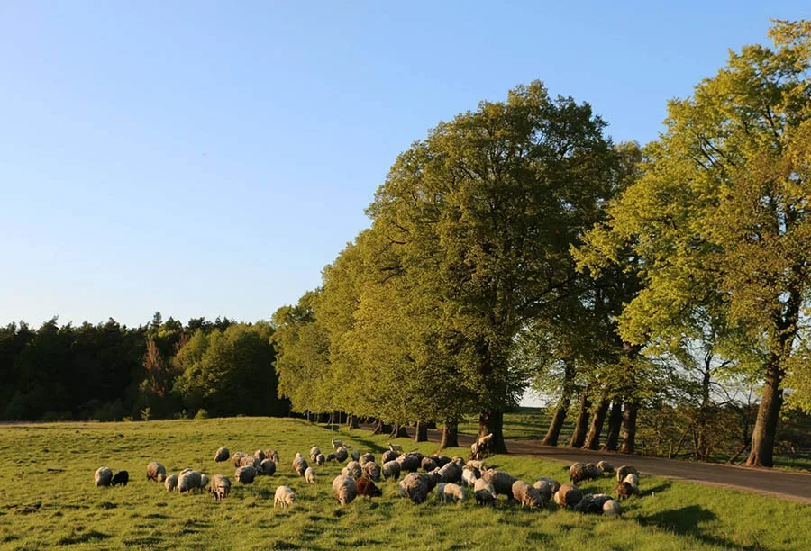
Modern photo by Mikhail Ogorodnikov.
Translated from Russian with the help of AI (Claude, Anthropic), October 2026.