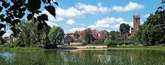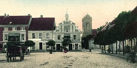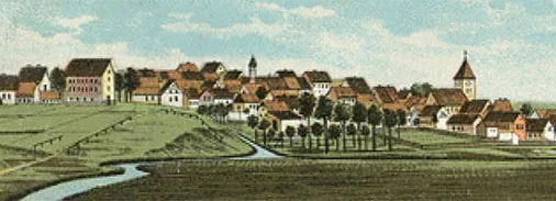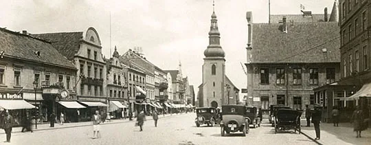
When people talk about what this land (the part of East Prussia that went to the USSR and later to Russia) lost after the Second World War, they most often recall the ruined castles and churches. The plundered manor houses and demolished monuments. The cobblestones torn up and the roadside alleys cut down. Yet there is one more half-forgotten loss, perhaps worth more than all of the above. It is the dense network of canals by which one could cross East Prussia from end to end, lengthwise and crosswise.
From Klaipėda to Rotterdam
Many years ago, when the region had only just ceased to be closed and a stream of nostalgic tourists from Germany poured in, many elderly Germans were left dumbfounded, trying to understand how it could have happened that this whole system had suddenly become of no use to anyone.
"Listen, I understand the reasons why the churches fell into neglect, I can explain to myself why you destroyed the castles, but I simply cannot grasp why you gave up an entire transport system. What was wrong with it? After all, it is more convenient to carry goods by water," a grey-haired native of Labiau (now Polessk) told me, sharing his bewilderment. He spoke for a long time about how, as a child, he had travelled with his father along the canals from one town to another, and how wonderful it had been.
…In the fat years of the 2000s, the regional government, then headed by Georgy Boos, a lover of large-scale projects of every kind, conceived the idea of "fitting" the Kaliningrad Region into the international waterway E70, which runs from neighbouring Klaipėda to Rotterdam in the Netherlands.
The plan was to repair the locks, clear and deepen the canals, and build numerous hotels and marinas on their banks.
However, almost none of what was planned was destined to come true. First the crisis of 2008 struck, then the Kremlin changed the principles of its personnel policy, and Boos left our parts together with his agenda.
A Ghost on the Border
It should be noted, however, that even in the "era of great dreams", as Georgy Valentinovich's time in office is sometimes called here, no one ventured to restore what is perhaps the most famous canal of all – the Masurian Canal.
Someone unfamiliar with local realities, seeing this canal on a map, might assume that from the village of Druzhba (Pravdinsk District) one could easily travel by water across the Russian-Polish border to the Great Masurian Lakes, rightly considered a paradise for yachtsmen. But in fact this is impossible, because the canal is not quite real. It sort of exists, and yet it sort of doesn't. It may well be the only ghost canal, phantom canal, in the world.
In one of his works the local historian Valentin Milovsky writes* that the idea of a waterway between the Masurian Lake District and the Pregolya basin was born as far back as the days of the Teutonic Order. However, it only began to be put into practice in the 18th century.
From 1764 to 1776, at the insistence of the Prussian Oberpräsident Johann Friedrich von Domhardt (1712 - 1781), a 50-kilometre channel was dug, along which water from Lake Mauersee flowed into the river Alle (now the Lava). This made it possible to send boats and barges laden with all kinds of goods downstream.
How navigation in the opposite direction was carried out is not very clear. Perhaps it wasn't at all. But most likely it was done with the help of barge haulers. Be that as it may, after Domhardt's death his brainchild also began gradually to die. The canal grew shallow and its embankments crumbled. The Masurian Canal was only remembered a hundred years later. In 1874 a new project was drawn up which, among other things, provided for the construction of locks.
Surprisingly, it took more than thirty years to approve it. Only in 1908, when all the signatures and stamps had been put on the document, did work get into full swing – work that the First World War prevented from being completed.
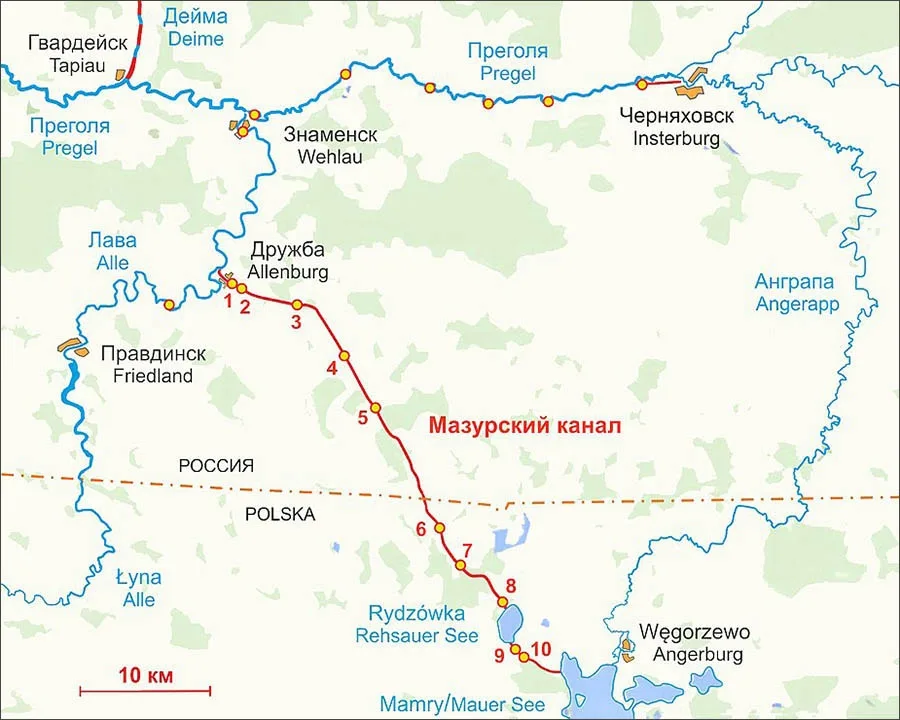 The locks of the Masurian Canal were named after nearby villages (numbered from the start of the canal):
1 – Allenburg I (Mündungsschleuse) / Druzhba I;
2 – Allenburg II (Bahnhofschluse) / Druzhba II;
3 – Groß Allendorf;
4 – Wilhelmshof;
5 – Georgenfelde / Ozerki;
6 – Langenfeld / Długopole;
7 – Klein Bajohren / Bajory Małe;
8 – Sandhof / Piaski;
9 – Unterschleuse Fürstenau / Leśniewo Dolne;
10 – Oberschleuse Fürstenau / Leśniewo Górne.
Cut in Two
After the end of the First World War, Germany had no time for the Masurian Canal for a long while. Construction resumed only in 1922, but very soon stalled again because of the global financial crisis.
"The last stage, involving the modernisation of the locks and the embanking of the channel, began in 1934," Milovsky writes. "As is well known, this was a time of mass road building all over Germany. Barracks for the workers sprang up around the canal, rails for tip wagons stretched along the banks, and excavators went to work for the first time.
Despite the broad scope of work and the large number of people involved, secrecy measures were applied. Photography was forbidden. The German topographic maps at a scale of one kilometre from 1936 and 1939 do not show the locks or the canal bed south of Georgenfelde.
This also gives grounds to speak of plans to use the canal in future for transporting military cargo." Construction of the canal continued even after the outbreak of the Second World War. In 1942, after the first defeats at the front, the work was wound down. In early 1945, as the Red Army approached, the bridges over the canal were blown up. And in December 1945 the canal was cut by the new state border between the USSR and Poland.
That, in fact, is when the canal became a phantom.
A 150-Year-Old Attraction
Of course, it would be wonderful to restore the canal. Then one more route would appear between the Kaliningrad Region and Poland – a waterway. And this would certainly promote both the development of tourism (I think there would be no shortage of people here wishing to reach the Masurian Lakes by canal) and the growth of trade.
It must be said that in the neighbouring country the old German canals are kept in working order as far as possible. For instance, the Elbląg Canal, along which one can travel from Elbląg to Ostróda and Iława, is very popular with tourists.
Remarkably, a multi-level boat lift designed a century and a half ago still works faultlessly on the canal. Its principle is as follows: a vessel on a cradle car running on two parallel railway tracks is hauled upwards – to another level. There the car descends into the water, and the vessel continues on its way. Nothing special, all in all. But tourists love this attraction…
______________
* According to Valentin Milovsky, the canal is 14 metres wide at the water surface and 2.5–3 metres deep. It is equipped with 10 locks, 5 of which are in the Kaliningrad Region.
Translated from Russian with the help of AI (Claude, Anthropic), October 2026.