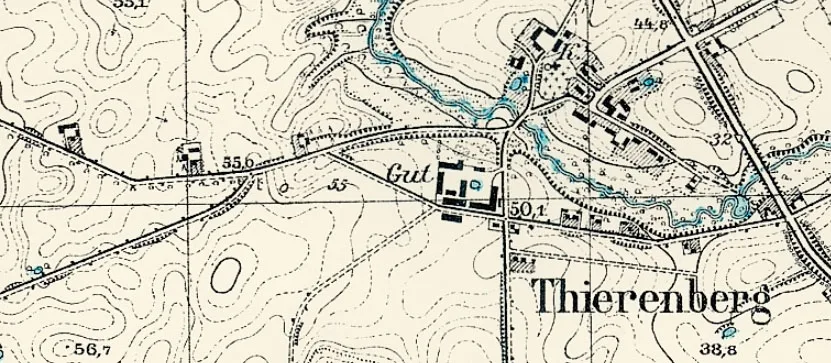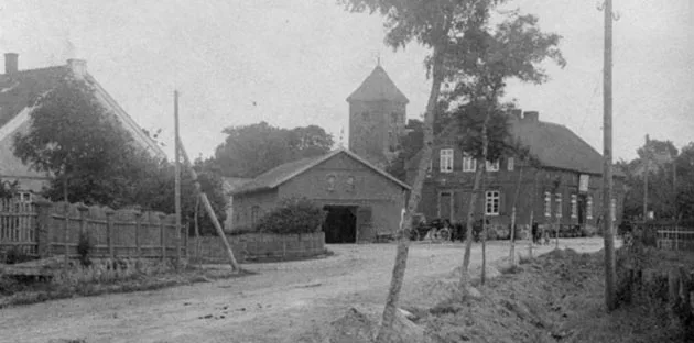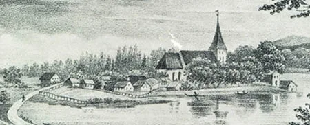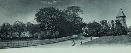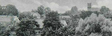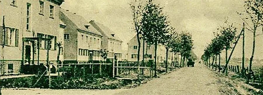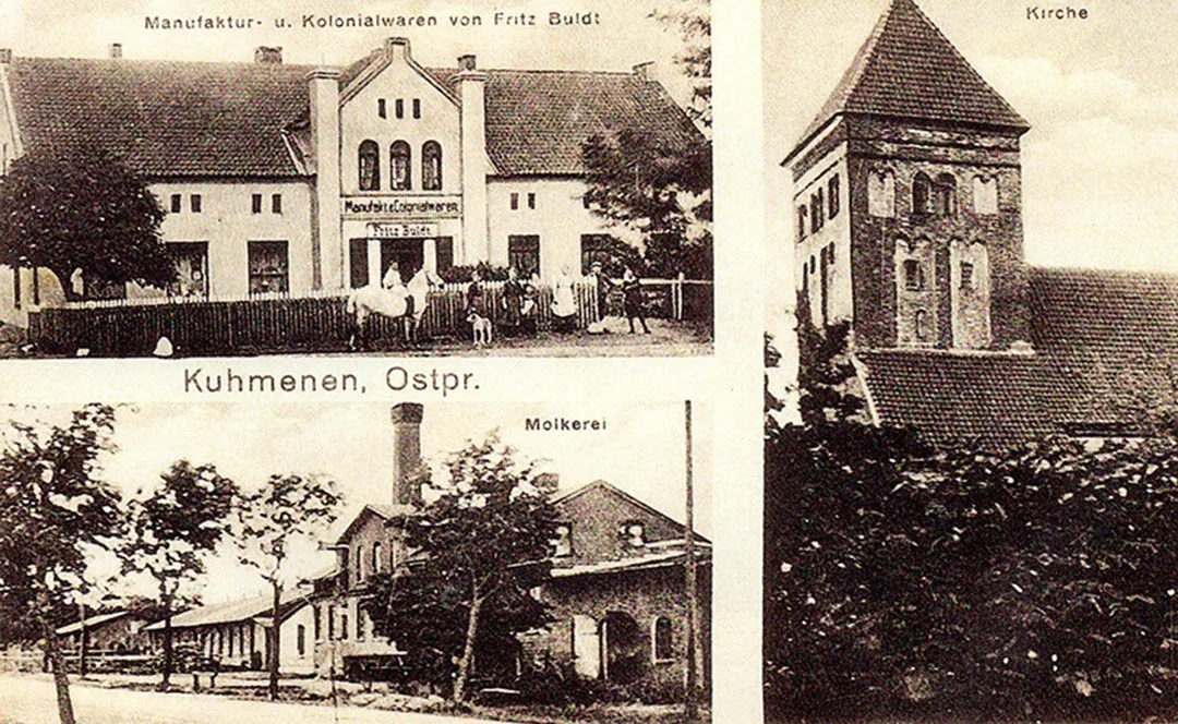
Kumehnen was founded as a fortification in 1264, although a Prussian settlement had existed on this site even earlier. Until 1390 it was a bishop's village. Its name changed several times: Komayn until 1785, Cumehnen until 1928.
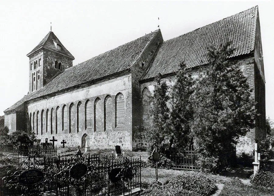
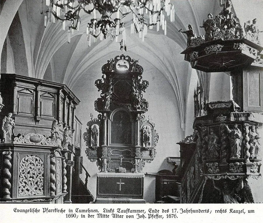
The village's own Gothic brick church was built here in the 14th century.
In the 19th century Kumehnen was a village forming a rural community in the Landkreis Fischhausen (from 1939 the Landkreis Samland). The church in Kumehnen was the parish church for 24 surrounding villages and estates. In 1874 Amtsbezirk No. 13 Kumehnen was established in the Landkreis Fischhausen, comprising nine rural communities: Kumehnen (Kumachevo), Kobjeten (54°49'13'' N 20°09'07'' E), Dallwehnen (Kamyshinka), Groß Ladtkeim (Yasnovka), Kotzlauken (Tumanovka), Nastrehnen (Kamyshinka), Pojerstieten (Kolodtsy), Siegesdicken (54°49'47'' N 20°11'32'' E) and Spalwitten (54°49'40'' N 20°12'15'' E), as well as five Gutsbezirke: Galtgarben (54°48'30'' N 20°14'35'' E), Hortlauken (54°50'10'' N 20°12'00'' E), Kalk (54°48'27'' N 20°10'55'' E), Linkenmühle (54°50'09'' N 20°12'58'' E) and Wernershof (54°50'16'' N 20°14'08'' E).
On 18 August 1893 Linkenmühle became part of the Kumehnen community. On 12 December 1897 Kalk joined the Pojerstieten community (Kolodtsy). No later than 1905 the Gutsbezirk Hortlauken became part of the rural community of Siegesdicken.
As a result, by 1908 the Amtsbezirk Kumehnen consisted of nine rural communities: Kumehnen (Kumachevo), Kobjeten, Dallwehnen (Kamyshinka), Groß Ladtkeim (Yasnovka), Kotzlauken (Tumanovka), Nastrehnen (Kamyshinka), Pojerstieten (Kolodtsy), Siegesdicken and Spalwitten, as well as two Gutsbezirke, Galtgarben and Wernershof.
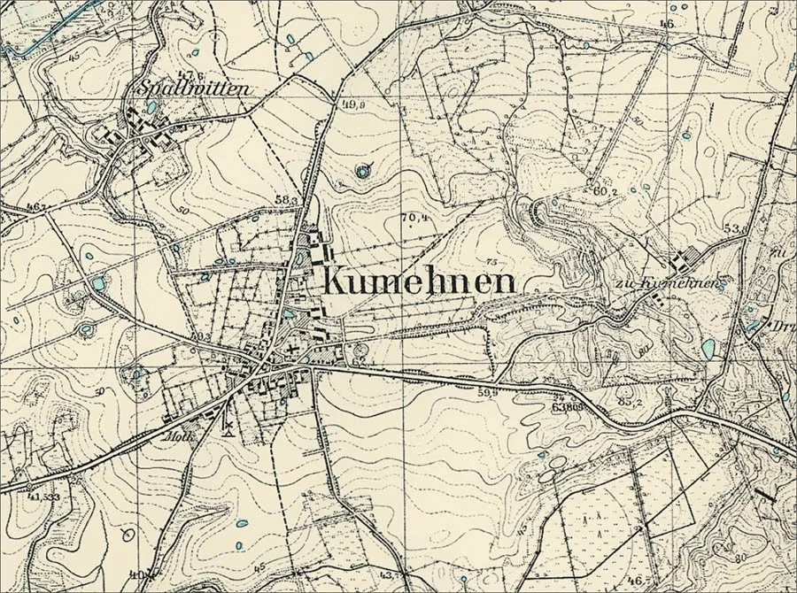
On 30 September 1928 the communities of Kumehnen (Kumachevo) and Dallwehnen (Kamyshinka) and the Gutsbezirk Galtgarben were merged into the new rural community of Kumehnen (Kumachevo). The communities of Groß Ladtkeim (Yasnovka), Kotzlauken (Tumanovka) and Siegesdicken (54°49'47'' N 20°11'32'' E) and the Gutsbezirke of Adlig Delgienen (54°50'52'' N 20°14'38'' E) from the Amtsbezirk Woytnicken (Volodino) and Stapornen (Votkino) from the Amtsbezirk Sankt Lorenz (Salskoye) were merged into the new rural community of Groß Ladtkeim (Yasnovka).
On 17 October 1928 the rural community of Spalwitten joined the Kumehnen community. The rural community of Dallwehnen (Kamyshinka) was incorporated into the Nastrehnen community (Kamyshinka). The Kobjeten community became part of the Pojerstieten community (Kolodtsy). On 1 April 1929 the Nastrehnen community (Kamyshinka) also became part of the Kumehnen community. As a result the Amtsbezirk Kumehnen came to consist of three rural communities: Kumehnen (Kumachevo), Groß Ladtkeim (Yasnovka) and Pojerstieten. Its composition did not change again until 1945.
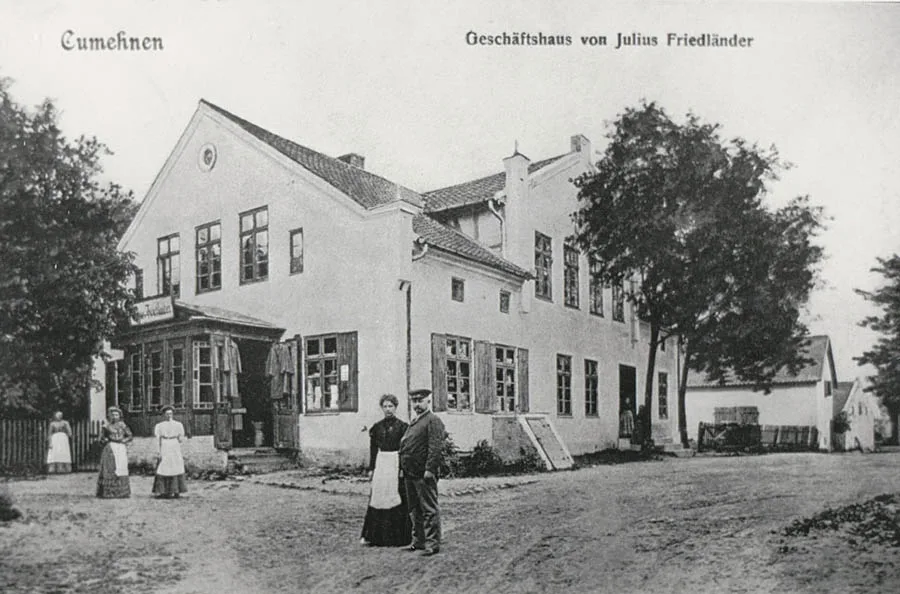
As of 1929 the rural community of Kumehnen comprised the following: the villages of Kumehnen (Kumachevo), Dallwehnen (Kamyshinka), Nastrehnen (Kamyshinka) and Spalwitten, the Galtgarben estate and the Vorwerk Linkenmühle. Before the war the village had a dairy and a windmill.
During the Second World War Kumehnen was taken twice by Red Army troops – on 1 February 1945 and on 13 April 1945.
On 17 November 1947 Kumehnen was renamed the settlement of Kumachevo.
In 1955 the settlement had 22 houses and a machine and tractor station. By 1984 there were already about 50 houses in the settlement. By the end of the 1990s Kumachevo had more than 100 houses. In 2018 the settlement had about 135 houses. History does not record since which year no fewer than three families of storks have made the ruins of the local church their home.
Coordinates of the settlement: 54°49'13'' N 20°12'45'' E
Sights: the ruins of the church (14th century).
Population change: 1984 – 280, 2002 – 527, 2010 – 541 inhabitants.
Population change of the Kumehnen community: 1905 – 488, 1910 – 507, 1933 – 736, 1939 – 792 inhabitants.
Population change of Spalwitten: 1905 – 59, 1910 – 58 inhabitants.
Population change of Galtgarben: 1905 – 19, 1910 – 27 inhabitants.
Population of Linkenmühle: 1905 – 7 inhabitants.

FOR REFERENCE
Kumehnen parish: Dallwehnen (Kamyshinka), Galtgarben, Groß Drebnau (Zelyony Gay), Groß Ladtkeim (Yasnovka), Hortlauken, Kalk, Klaukinnen (54°48'17'' N 20°16'48'' E), Klein Drebnau (Molochnoye), Kobjeten bei Kumehnen, Kotzlauken (Tumanovka), Kumehnen (Kumachevo), Linkenmühle, Marienhof (Novo-Pereslavskoye), Nastrehnen (Kamyshinka), Pentekinnen (54°47'11'' N 20°16'18'' E), Pojerstieten bei Kumehnen (Kolodtsy), Prilacken (Bratskoye), Reessen (54°46'56'' N 20°16'15'' E), Seefeld (Prostornoye), Siegesdicken, Spalwitten, Taplacken (54°49'31'' N 20°17'56'' E), Wernershof, Wiekau (Khrustalnoye).
Translated from Russian with the help of AI (Claude, Anthropic), October 2026.