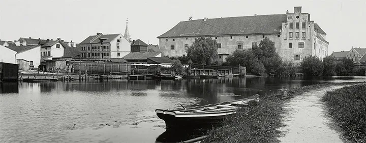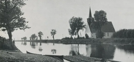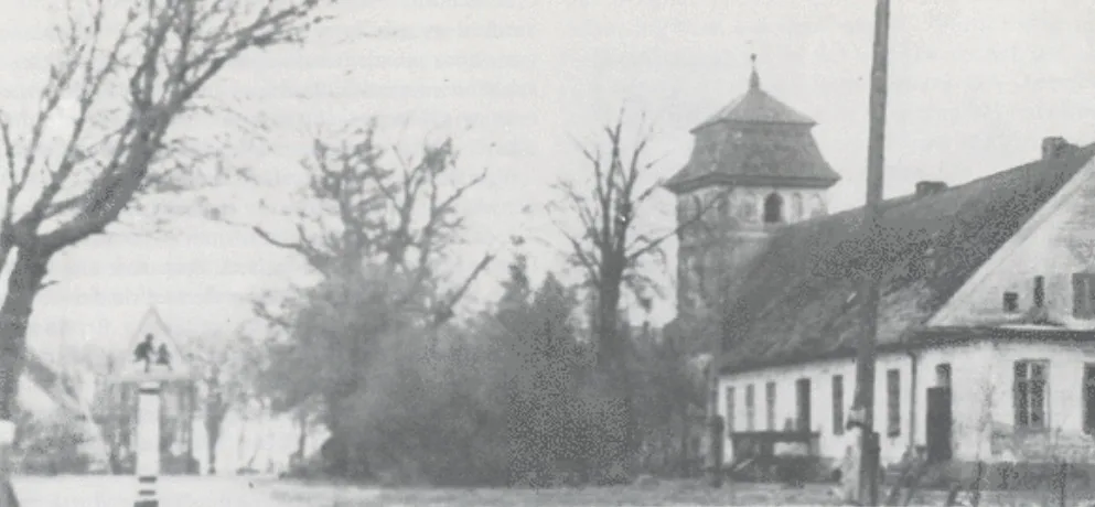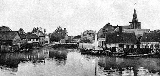
Labagienen was a village forming a rural community in the Landkreis Labiau (Polessk). The village belonged to the church parish of Labiau (Polessk). The Labagienen community also included the small settlement of Haffwinkel (54°53'15'' N 21°02'35'' E). In 1874 the Labagienen community was included in the newly established Amtsbezirk Reikeninken (from 1938 Reiken; Vskhody, Podsobny). In 1883–88 and 1922–27 the heads of the Amtsbezirk were residents of Labagienen, the fishing masters Parrau and Reincke. 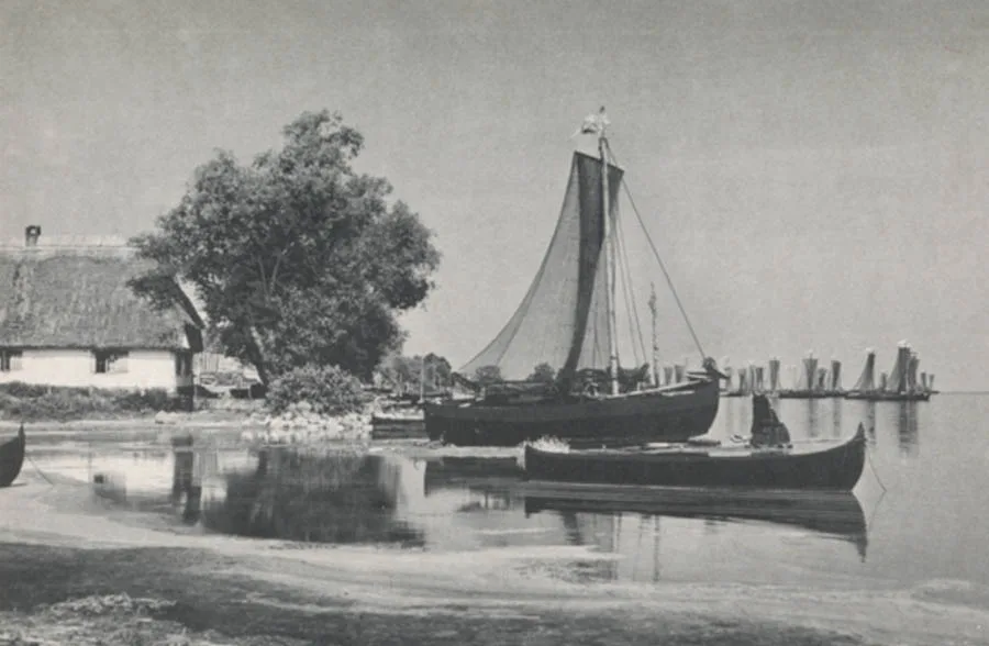
Until 1929 Rinderort consisted of two villages: Alt Rinderort and Neu Rinderort
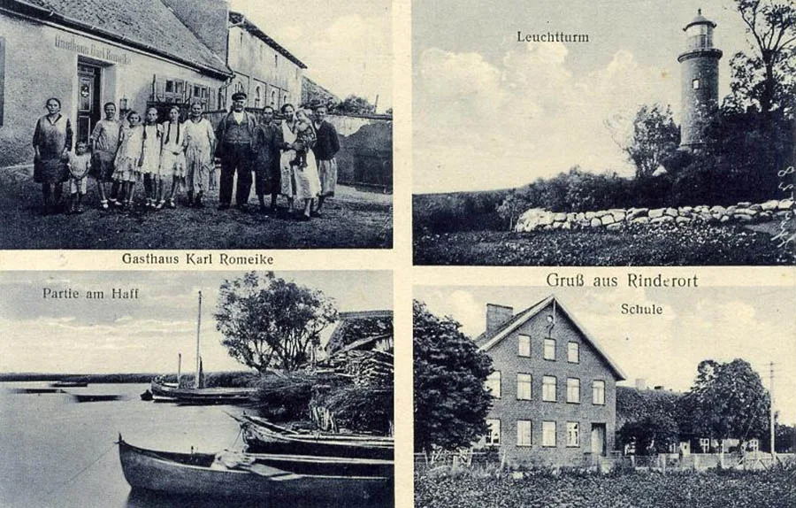
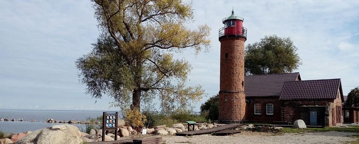
Alt Rinderort was a village forming a rural community in the Landkreis Labiau (Polessk). The village belonged to the church parish of Labiau (Polessk). In 1868 a lighthouse was built on Cape Rinderort – one of the three pre-war lighthouses that have survived to the present day. In 1874 the Alt Rinderort community was included in the newly established Amtsbezirk Reikeninken.
Neu Rinderort was a village forming a rural community in the Landkreis Labiau (Polessk). The village belonged to the church parish of Labiau (Polessk). In 1874 the Neu Rinderort community was included in the newly established Amtsbezirk Reikeninken.
On 30 September 1929 the communities of Alt and Neu Rinderort, together with 870 hectares of woodland that had belonged to the forest Gutsbezirk Klein Naujok (Aleyevka forestry), were merged into a single rural community of Rinderort.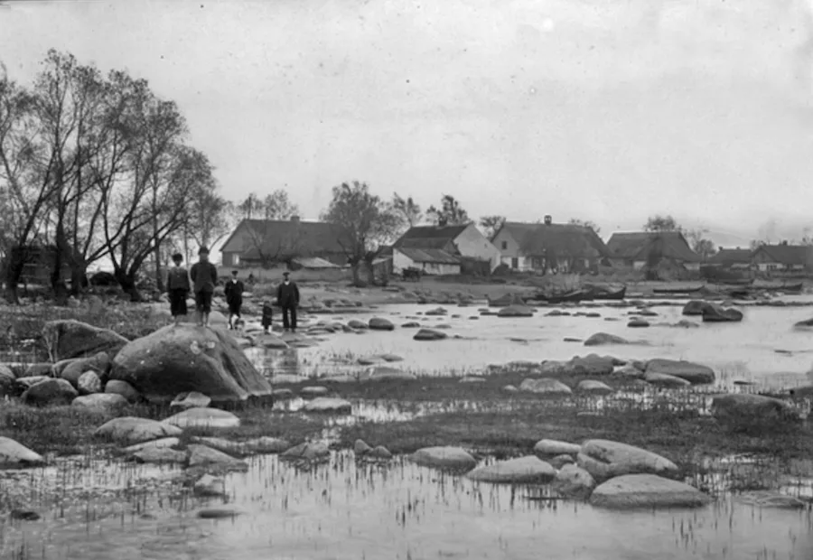
On 17 November 1947 Labagienen was renamed the settlement of Zalivino, and Rinderort the settlement of Otkrytoye.
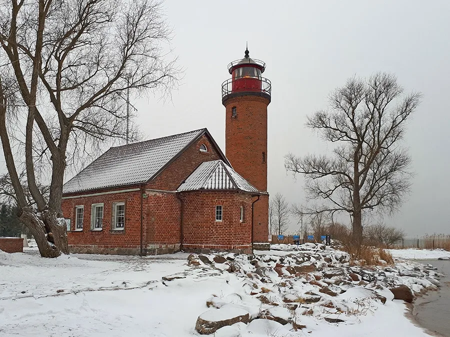
The lighthouse in Zalivino after repairs (2023).
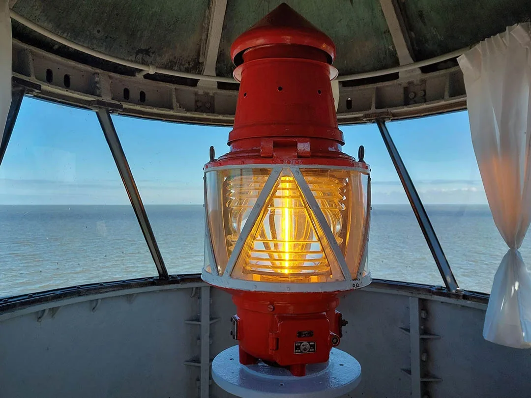
At first the settlements were part of the Mordovsky Village Council, which was renamed the Tyuleninsky Village Council in 1950. In 1972 Zalivino had 80 houses and Otkrytoye 48; Otkrytoye also had a school and the lighthouse in operation. Before 1975 Otkrytoye was removed from the register as a locality and incorporated into the settlement of Zalivino. In 1986 the settlement of Zalivino had 90 houses. In the 2010s the school in Zalivino was closed. In 2020 the lighthouse on the shore of the Curonian Lagoon was transferred to the Museum of the World Ocean.
Coordinates of the settlement: 54°53'36'' N 21°04'09'' E (Labagienen), 54°53'56'' N 21°03'18'' E (Rinderort).
Sights: the lighthouse on Cape Rinderort (1868).
Population change of Zalivino / Labagienen: 1905 – 343, 1910 – 514, 1933 – 551, 1939 – 547, 2002 – 700 inhabitants.
Population change of the Rinderort community: 1925 – 553, 1933 – 601, 1939 – 672 inhabitants.
Population change of Alt Rinderort: 1905 – 303, 1910 – 274 inhabitants.
Population change of Neu Rinderort: 1905 – 261, 1910 – 240 inhabitants.
Modern photos by Konstantin Amozov (top) and Mikhail Ogorodnikov.
Translated from Russian with the help of AI (Claude, Anthropic), October 2026.