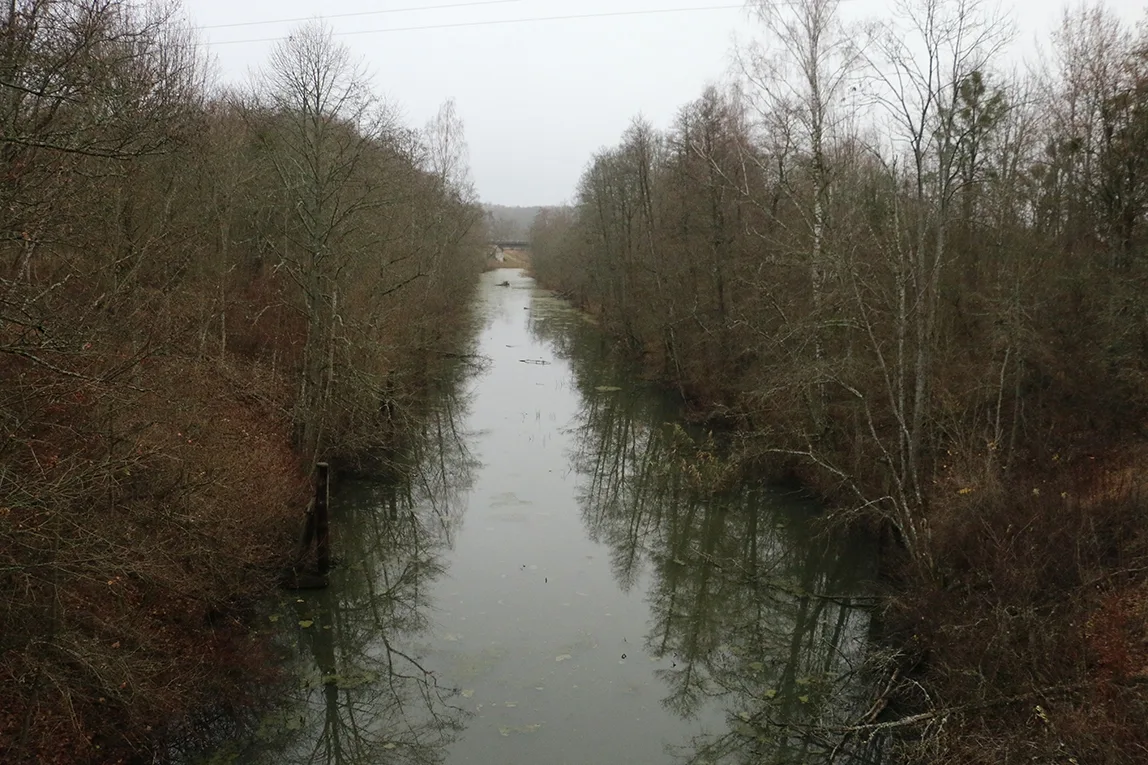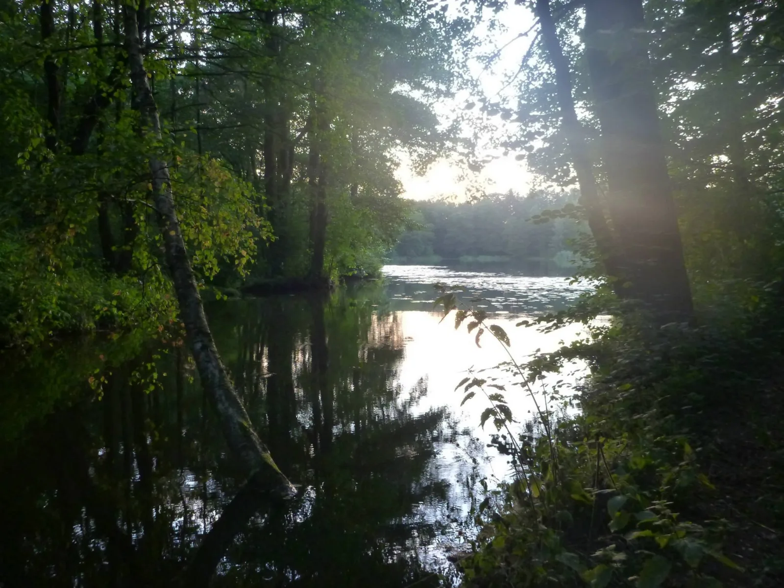
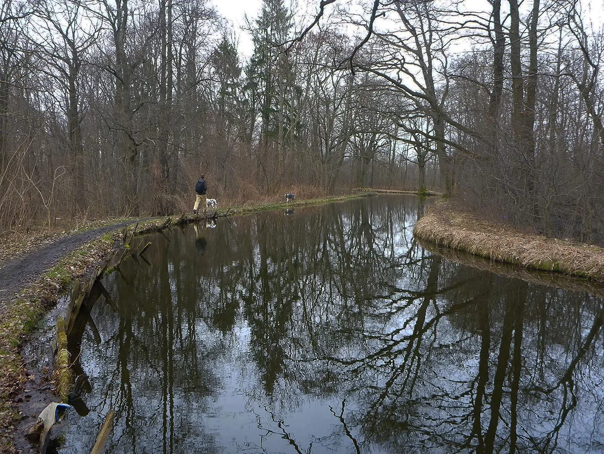
The total length of the canal is about 20 km. This hydraulic project, carried out in the time of the Teutonic Order and comprising, besides the canal, a cascade of interconnected ponds, will soon be 700 years old. The first records of the Landgraben date from 1348. Today the Drinking Water Canal still meets about 15% of the regional capital's need for tap water.
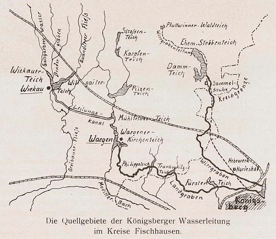
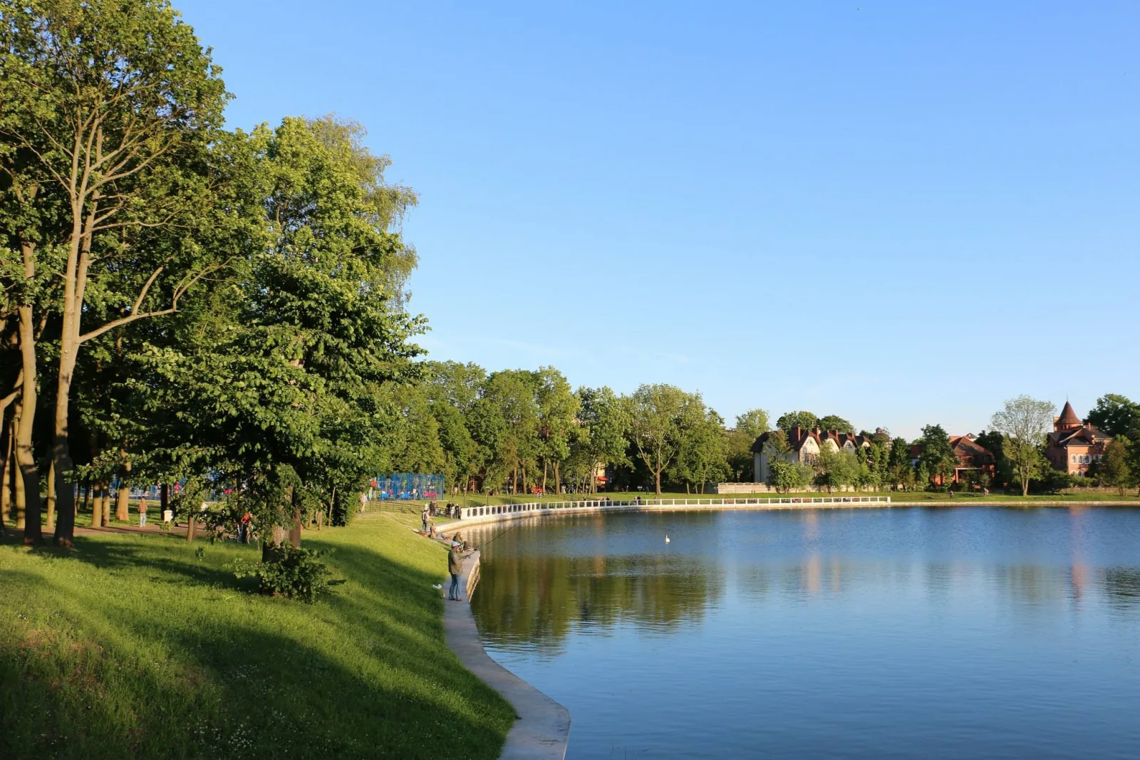
The difference in height between Gagara Pond, the first large reservoir of the cascade, and Neskuchny Pond in the centre of Kaliningrad, to which the Drinking Water Canal brings its water, is 15 metres. This provides good water pressure. In former times it was enough to turn the millstones of several mills.
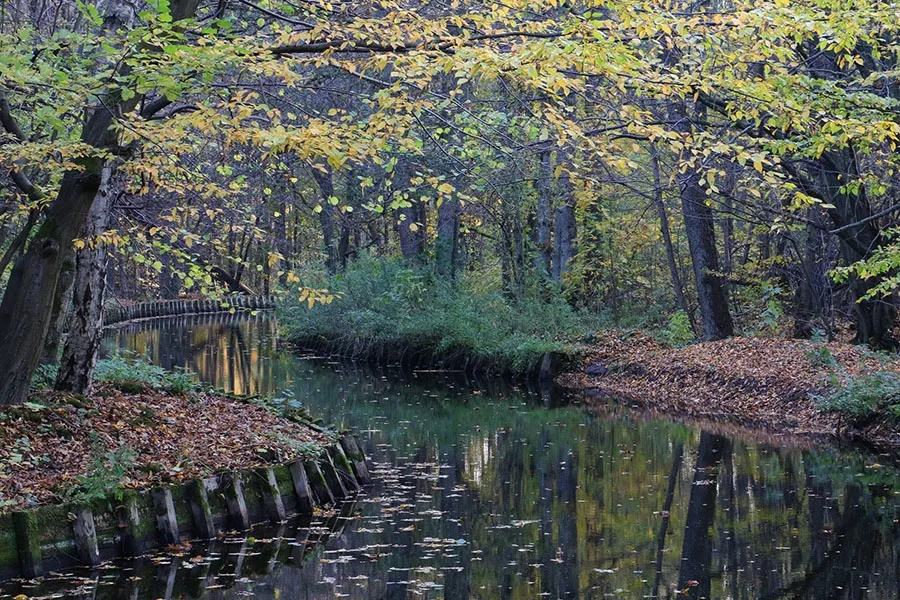
Yet the Landgraben's chief virtue is the beauty of the landscapes it shapes! You can see this for yourself at any time of year by walking along its picturesque course within the city limits — from Neskuchny Pond to Filippov Pond. A second easy option is the banks of Shkolny Pond near the settlement of Kotelnikovo. The most determined can travel to the settlement of Kotelnikovo and return to the city along the right bank of the canal. At an average pace the route will take about half a day (5–6 hours).
In the rare frosty winters the surface of the canal turns into a skating track along which you can make an unforgettable journey into fairy-tale winter Sambia.
Translated from Russian with the help of AI (Claude, Anthropic), October 2026.