Rominten was a settlement, the centre of the forest Gutsbezirk Goldap, Forst in the Landkreis Goldap. The Gutsbezirk was formed in 1818 and, besides Rominten, included the forester's house Forsthaus Binnenwalde (54°21'29'' N 22°36'00'' E), the forester's house Forsthaus Bludszen (from 1938 Forsthaus Kausch; the Bludzie Małe forestry, Poland), Königliches Schloß (from 1938 Schloß Rominten), Reiff, and the village of Biebergraben.
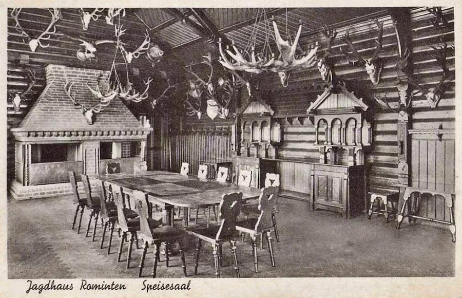
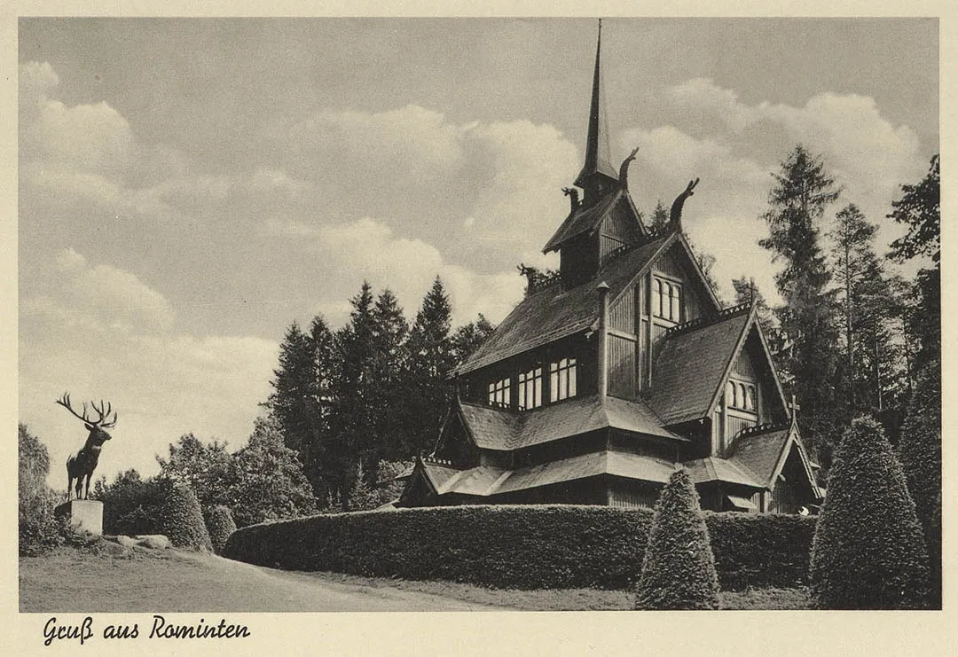
In 1874 Amtsbezirk No. 11 Königliches Forstrevier Goldap was formed in the Landkreis Goldap, comprising two rural communities – Klein Jodupp (Petrovskoye) and Schillinnen – and the forest Gutsbezirk Goldap. From 1902 the Amtsbezirk was administered from the Rominten Hunting Lodge.
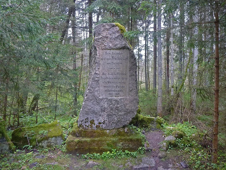 Memorial stone to Prince Friedrich Karl of Prussia (1914).
By 1908 the Schillinnen community had been transferred to the Amtsbezirk Mühle Goldap, and only one community, Klein Jodupp (Petrovskoye), and the forest Gutsbezirk Goldap remained in the Amtsbezirk Königliches Forstrevier Goldap. In 1925 the forest Gutsbezirk Goldap was renamed Rominten Hunting Lodge (Jagdhaus Rominten). The Amtsbezirk received the same name. On 30 September 1928 a rural community of Jagdhaus Rominten was separated from the Gutsbezirk Jagdhaus Rominten. The forest Gutsbezirk itself was enlarged by incorporating the surrounding forest districts and named Rominter Heide, Anteil Kreis Goldap, Forst. In 1936 the Jodupp community (Petrovskoye) was included in the Amtsbezirk Gehlweiden, and only the Rominten community and the Gutsbezirk Rominter Heide, Anteil Kreis Goldap, remained in the Amtsbezirk Jagdhaus Rominten.
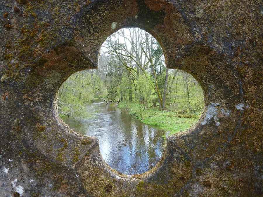
View from the Deer Bridge of the Krasnaya (Rominte) River.
On 17 November 1947 Rominten was renamed the settlement of Raduzhnoye.
At first it was included in the Krasnolesye Village Council. From 1954 it was in the Chistye Prudy Village Council. In 1985 the settlement had two households. In the 1990s the settlement became uninhabited. Today it is an infrastructure site of the Vishtynetsky Nature Park.
Coordinates of the settlement: 54°21'48'' N 22°32'48'' E
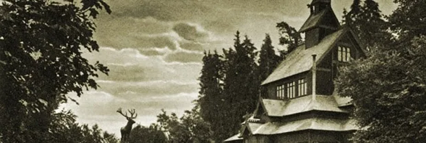
Sights: the ruins of Kaiser Wilhelm II's hunting lodge, the Deer Bridge over the Krasnaya River, the memorial stone to Prince Karl of Prussia.
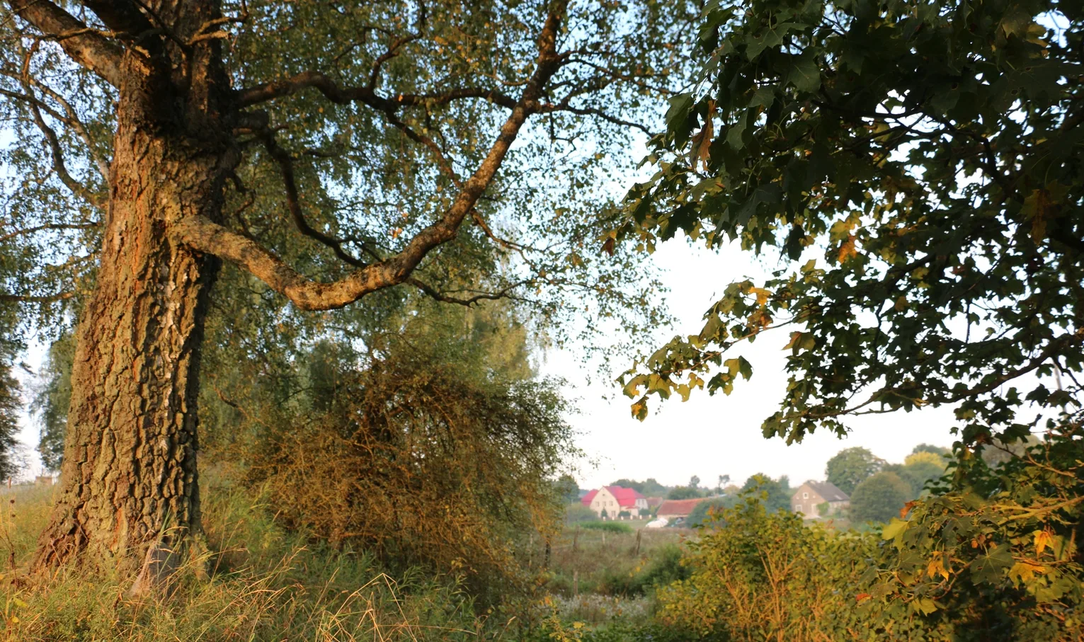
Modern photos by Mikhail Ogorodnikov
Translated from Russian with the help of AI (Claude, Anthropic), October 2026.