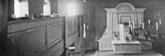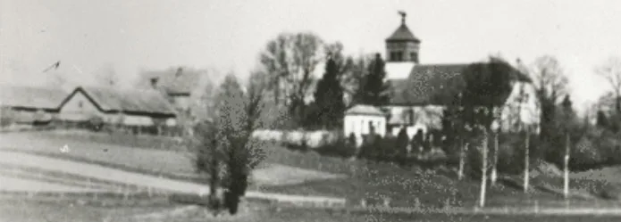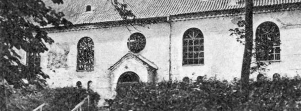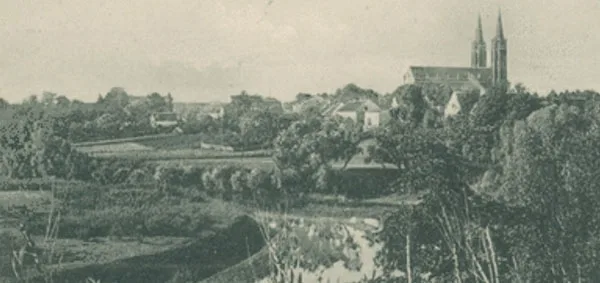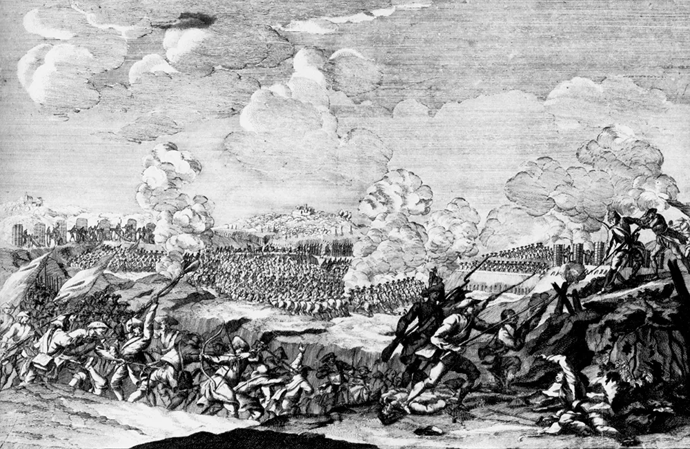
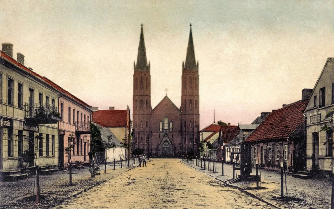
The parish was founded in 1549. At that time it was a village with a church. The first church burned down. Under Pastor Reimer, a new thatched church with a small tower was built in 1695. The village received town rights in 1725.
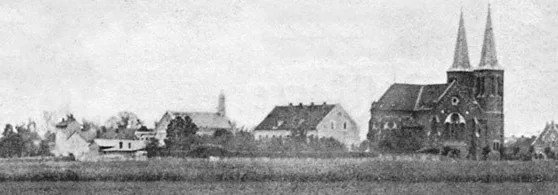
In 1845 King Frederick William IV ordered a new church to be built. But construction began only in 1850 under the district architect Knorr. The church was designed by Stüler in Berlin and the design was refined by Roux in Gumbinnen.
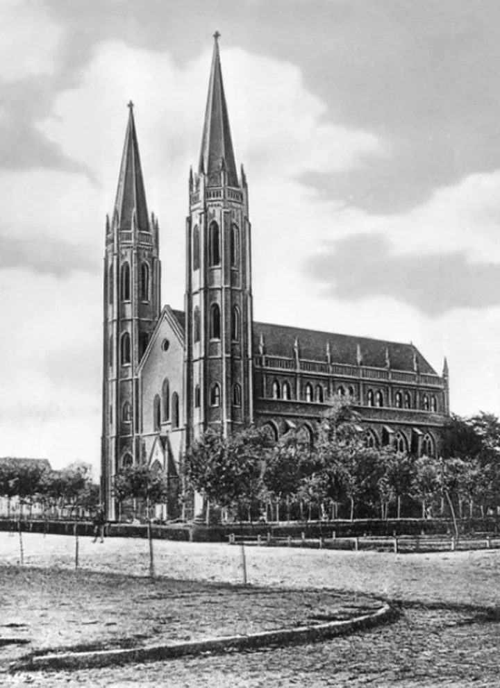
On 14 September 1856, in the presence of Frederick William IV, the church was consecrated and named the Immanuelkirche.
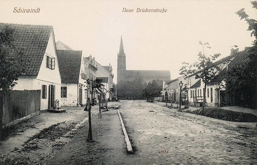
It was a brick building with two four-storey hexagonal towers with pointed spires standing at either side of the central gable.
The church was damaged in the Second World War. The town was also badly destroyed. By the 1990s practically nothing was left of it. As of 1997, the site of the demolished church was marked by a small elongated mound about 1 metre high. The town no longer exists; the partly preserved school building is used as barracks for border guards.
Photos on this page: Bildarchiv Ostpreußen, bildarchiv-ostpreussen.de.
Translated from Russian with the help of AI (Claude, Anthropic), October 2026.