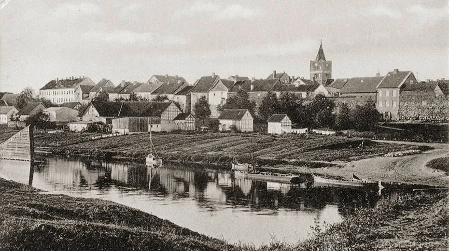
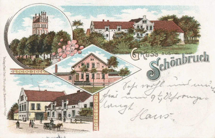
A priest in Schönbruch is mentioned as early as the 14th century. In Catholic times the church belonged to the archpresbyterate (Erzpriesteramt) of Friedland (Pravdinsk), according to Adolf Boetticher. According to Walther Hubatsch, this parish church dates from the 15th century.
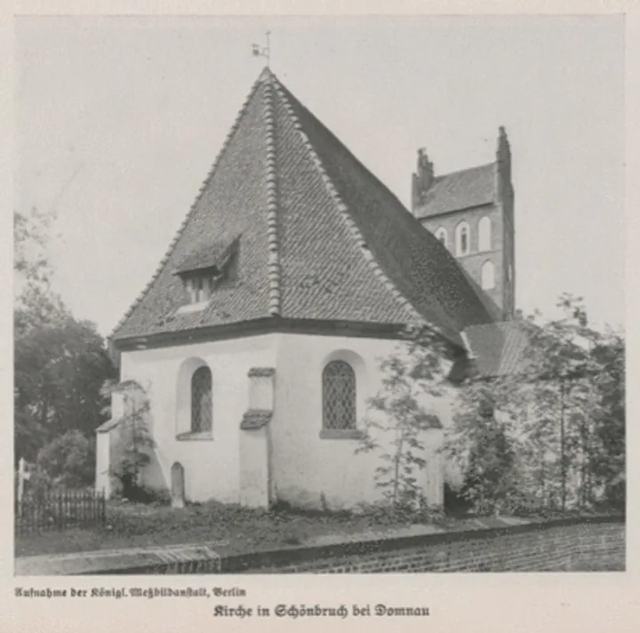
A building of fieldstone and brick. It consisted of a tower, the church building and an octagonal chancel. The tower had a pointed portal, pointed niches and blind windows, and a gable roof with two gables. The church building and the chancel had rectangular and diagonally set buttresses. On the north and south there were brick annexes.
The interior of the nave and the chancel is simple, with a smooth wooden ceiling (in the photo below).
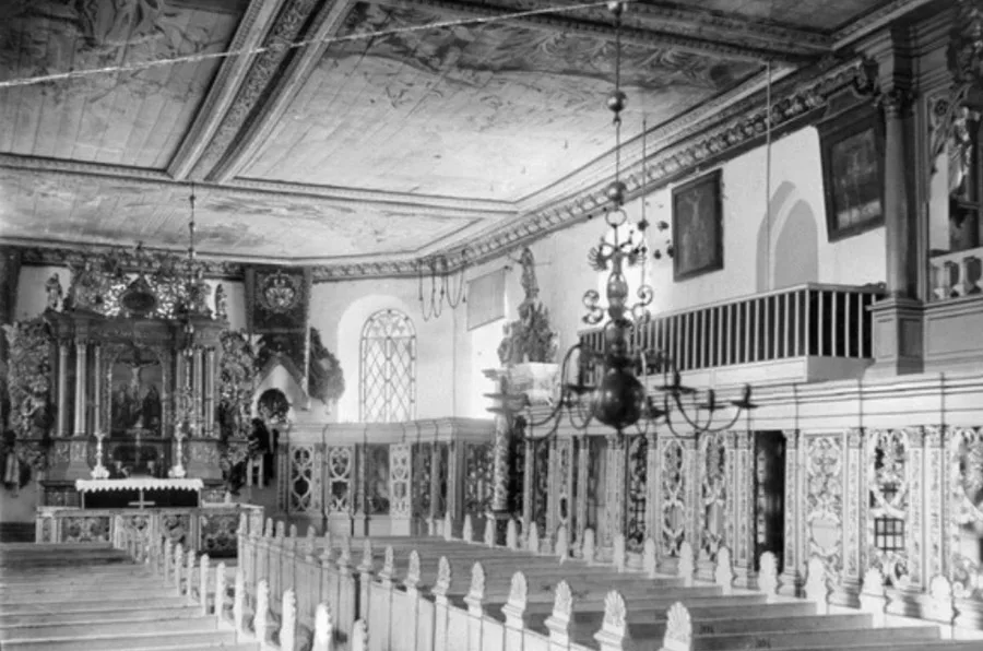
The altar was made in 1608 and restored in 1691, 1774 and 1865. The pulpit dates from 1690, the organ from 1714. The ceiling was painted. The church had a large number of paintings. Its bells dated from 1587, 1842 and 1847.
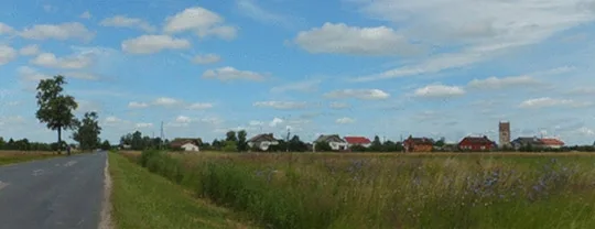
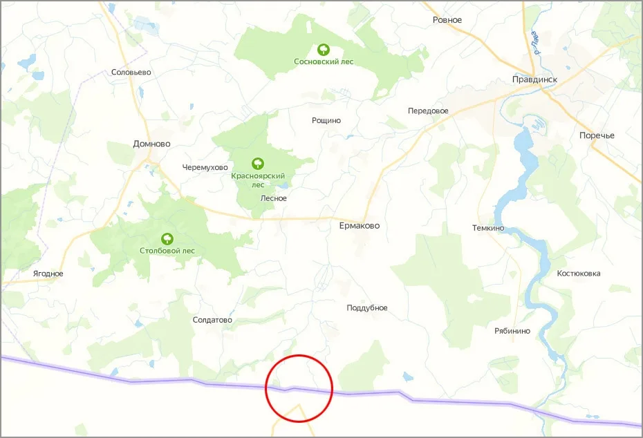
After the Second World War the village was divided into two parts by the border. On our side the village is called Shirokoye, on the Polish side Szczurkowo, which means the same thing.
On the Russian side there are no civilian residents; there is (or was) only a border post.
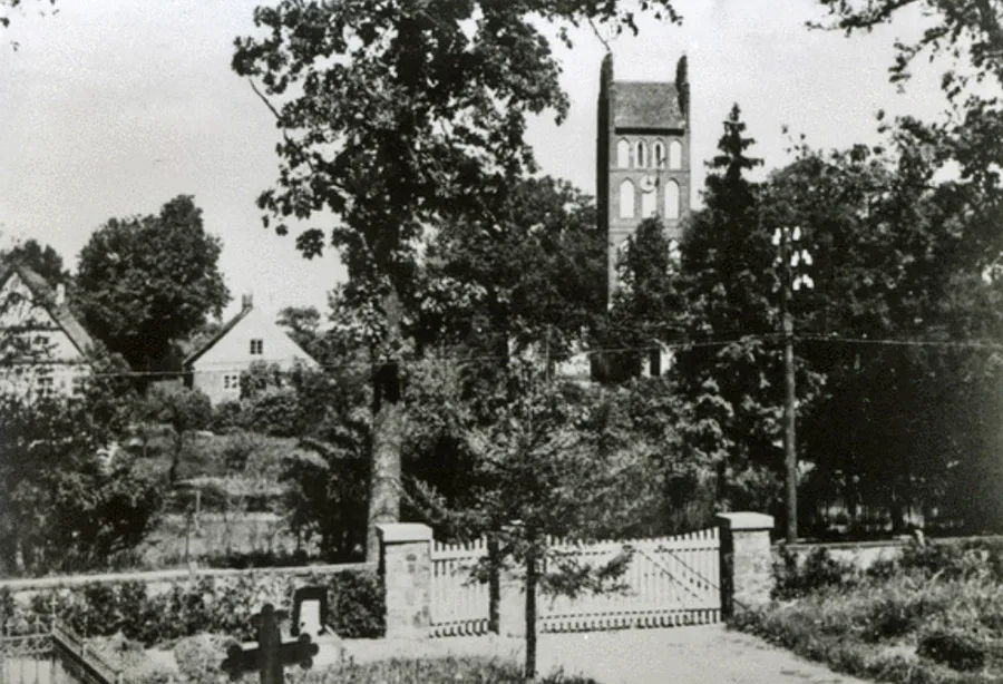
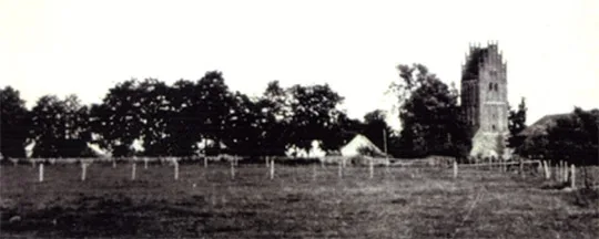
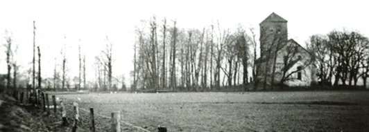
After the war the church was intact. It ended up on the Soviet (Russian) side, within the border security zone, among rows of barbed wire 30 m from Polish territory. The Polish side proposed shifting the border slightly so that the church could be used as a Catholic church for its residents. But the Soviet authorities did not agree.
To solve the problem, in 1974 the church began to be demolished, as can be seen in a photograph taken from the Polish side.
At the turn of the 20th and 21st centuries, all that remained of the church were small fragments of the walls and the tower, on a hill just beyond the control strip. On the south side, walls up to two metres high survived, as well as the pointed entrance to the church. Next to it, in a round arch, there is another entrance. The chancel has practically not survived; even the floor has been taken up, and the vaulted cellars are visible. In front of the entrance an epitaph depicting a knight and a woman has survived. Around the church and the adjoining churchyard runs an avenue of old chestnut and lime trees. The churchyard has been destroyed; overturned gravestones and toppled crosses lie everywhere. The second cemetery, across the road, is also a sad sight, with desecrated and destroyed graves.
Photos on this page: Bildarchiv Ostpreußen, bildarchiv-ostpreussen.de
Translated from Russian with the help of AI (Claude, Anthropic), October 2026.