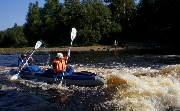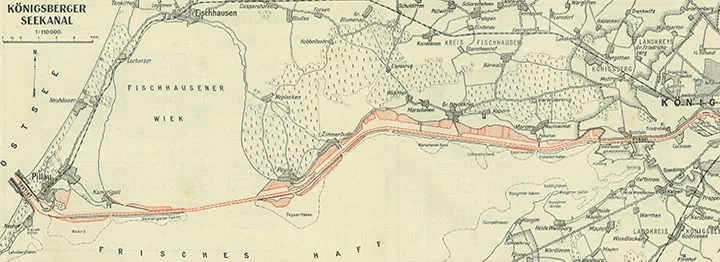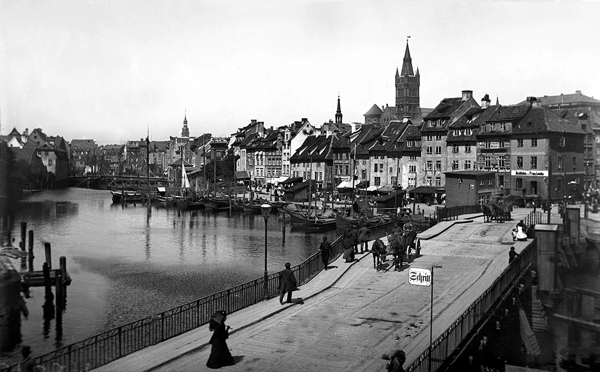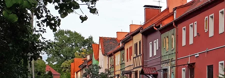
Spring is the perfect time to admire streams and canals. Let us set out on a series of journeys along the small watercourses that wind through the city. These will also be journeys through time: just look at how many man-made ponds and watercourses were created in our city... The people of East Prussia were true masters of hydraulic engineering. Think of the polders, the dykes and pumping stations, the sophisticated drainage system and the rest of the expertise built up over the centuries. This is an important and very distinctive part of the cultural landscape here in the region.
In the Depths of the Centuries, and Beyond
Not a trace remains of the Zuggraben, the canal that set apart the Vordere Vorstadt district. Thanks to the Zuggraben and several picturesque ditches, the district resembled Venice, and bridges linked it to the rest of the city. By 1895 the Zuggraben had been almost entirely filled in, and Kaiserstrasse was laid out in its place. Today this is Polotskaya Street and Krasnooktyabrskaya Street.
There were other canals and ditches as well, usually dug for drainage, which we would no longer notice on the ground today. Yet Königsberg's street names preserved this feature of the urban landscape: Neuergraben and Altergraben (New Ditch and Old Ditch), and Lizentgrabenstrasse (Customs Ditch Street).
Other streams and canals that we find on historical maps still exist, although their condition and function have often changed considerably.
Somewhere back in the depths of the centuries flows the Löbe stream, which gave its name to Löbenicht, the town that officially became part of Königsberg in 1724. The Löbe is known to have marked the boundary between Löbenicht and neighbouring Altstadt. Later the Löbe became known as the Cat Stream (Katzbach), and this hydronym gave Königsberg its "feline" street names as well (Katzbachstrasse, Katzensteig).
However, Löbebach and Katzbach are the names of the stream's lower course. In the early 20th century this section was channelled and hidden underground... The upper reaches of the watercourse, meanwhile, have been called the Beydritten Fliess since the days of the Teutonic Order (today it is the Severny Stream). Its source lies near the present-day settlement of Pervomaysky, by Fort No. 4 "Gneisenau".
The Kaliningrad researchers Olga Savostina, Yelena Salikhova and Larisa Stanchenko give a fascinating account of how the main hub of Königsberg's hydrological network took shape over the centuries (Савостина О.А., Салихова Е.В., Станченко Л.Ю. «Этапы формирования основного узла гидрологической сети Кёнигсберга–Калининграда (с 1255 по настоящее время)» // «География и туризм» - 2014. - Вып. 27. - С. 283-295. — the PDF can be downloaded here.)
For instance, at the end of the 13th century three watermills were built one after another on the lower course of the Löbebach, and in 1261 the stream was dammed. The result was the Castle (Lower) Pond (Schlossteich). Look closely at its outline: long and narrow, it leaves no doubt about its origins. It was once a stream.
In 1270 the Upper Pond (Oberteich) was created for fish farming; its water level was more than 20 metres higher than that of the Pregolya.
Besides the Severny Stream, the Upper Pond is fed today by the Golubaya River (Wirrgraben). In fact it is a 14th-century canal, and its German name translates as "crooked ditches". The Golubaya links several lakes and Divny Pond. Along one stretch, its waters flow underground.
A relatively young stream that also feeds the Upper Pond is the Botanichesky. It, too, is a canal, dug as late as the 20th century. The Botanichesky flows out of the pond in the IKBFU Botanical Garden and enters the Upper Pond from the north. The pond and the watercourses around it deserve a separate, serious discussion that delves into their history…
Water from the Upper Pond is discharged into the Lower (Castle) Pond through an underground gallery. The Lower Pond is also fed by the Parkovy Stream and the Litovsky Ditch, which was likewise once a stream. We will come back to these two watercourses.
Until almost the end of the 19th century, yet another canal flowed into the Upper Pond: the famous Pitevoy Canal (Landgraben). The Landgraben was built to increase the flow of the Katzbach. Over time the canal grew into an entire water system linking artificial and natural bodies of water, among them Filippovo Lake and the Shkolny and Neskuchny ponds. Water from the Pitevoy Canal is still used to supply part of the city.
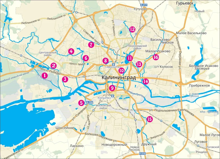
1 – Lesnoy Stream, 2 – Mendeleevsky Canal, 3 – Lakovka River, 4 – Pitevoy Canal, 5 – Tovarnaya River, 6 – Vozdushny Stream, 7 – Golubaya River, 8 – Parkovy Stream, 9 – Zuggraben, 10 – Lower (Castle) Pond, 11 – Upper Pond, 12 – Severny Stream, 13 – Krepostnoy (Litovsky) Stream, 14 – Yaltinsky (Medny) Pond, 15 – Lesnaya River, 16 – Gagarinsky Stream.
On the Right Bank of the Pregolya
Let us look at the right bank of the Pregolya, where several small watercourses flow into the river. Closest to its mouth is the Mendeleevsky Stream, which was turned into a canal long ago. It rises near the A. Kosmodemyansky settlement (Metgethen; on the 1940 map the settlement's name is preceded by "Gartenstadt", meaning garden city).
The Mendeleevsky in turn receives the Lesnoy Stream, the Moditten-bach. The Lesnoy also rises near the A. Kosmodemyansky settlement. As it happens, our city has two similar-sounding hydronyms, Lesnoy and Lesnaya: a stream and a small river at opposite ends of the city. On one of our journeys we will find out why. Then, too, we will get to know the work of Sibylle von Olfers, who was born in Metgethen, grew up there and drew her inspiration (or so I like to think) on the banks of these two streams.
Next to flow into the Pregolya is the Lakovka River (Laak). Local historians link its pre-war name, Laak, to a word meaning marshy ground. The little river is listed in the State Water Register. It is 16 kilometres long, with a catchment area of 23.7 square kilometres. Note that the word Laak appears elsewhere on the map of Königsberg, too: it was the name of a part of the city by the river and of two streets, Unter- and Oberlaak (where Moskovsky Prospekt runs today).
Another stream carrying its waters to the Pregolya is the Vozdushny, or "Airy" (Ratshöfer Freigraben). The Vozdushny flows out of Neskuchny ("Never Dull") Pond (Fürstenteich, "Prince's Pond"). What romantic hydronyms! The stream runs south and widens near the junction of Katina Street and Prospekt Mira. On the pre-war map this spot is marked as Hammerteich (from the German Hammer, "hammer"), and there was a bathing area here. Nearby runs Hammerweg (today's Prospekt Mira), and close by stands the new building of the Königsberg Kunstakademie.
Be sure to take a look at it, and at the figure of Heracles: a bas-relief by Stanislaus Cauer that adorns a hydraulic structure on the stream.
The mouth of the Parkovy Stream (Hufenfreigraben) lies directly opposite Kosse Island. The stream flows from the Upper Pond, cutting right through the centre of present-day Kaliningrad. In some places it runs in the open, in others it dives underground. It passes beneath the railway, for example, and reappears south of the junction of Sovetsky Prospekt and Chaykovskogo Street. It is the Parkovy that runs under the Lovers' Bridge, and it is this watercourse that graces the zoo before heading on into the Central Park. On our journey to this stream we will admire the beeches that survive in Luisenwahl and talk about the plans for landscaping its banks. It will not be a cheerful conversation…
If you study the Sackheim Gate area on old maps, you can clearly make out two watercourses: the Gagarinsky (Kupfergraben*, "copper ditch") and the Litovsky (Krepostnoy). The pond beyond the Sackheim Gate was also called Copper Pond. Incidentally, it was once much larger than it is today: its other half lay where the stadium now stands, on the opposite side of Moskovsky Prospekt. The pond had a diving tower (it survives to this day but is no longer used for its original purpose) and was a popular place of recreation for townspeople. The other watercourse, the Litovsky, is connected with the fortifications, of which ditches or canals were an essential part. On our journey to this part of the city we will see a true embodiment of the engineering and architectural skill of the past: the entire complex of fortifications of the Litovsky Val…
On the Left Bank of the Pregolya
Near the Timber Harbour, the Tovarnaya River (Beek) flows into the Pregolya. The Tovarnaya runs through a lowland overgrown with reeds and willows alongside the railway tracks and is crossed by several major streets. Like other Kaliningrad watercourses, the little river suffers from unauthorized discharges, and its floodplain is gradually being built up on both sides… On a 1944 map, the connection between the Tovarnaya and Lakes Letneye (Schwanen-Teich) and Zimneye (Hubertus Teich) is clearly visible.
Another river in the southern part of the city, the Lesnaya, bears the same name, Beek, on German maps. It is believed to form a single hydrological system with the Tovarnaya, linked to it by underground channels.
The Lesnaya rises outside Kaliningrad, near the village of Otvazhnoye. From there the little river flows past Lake Schönfliess (Schönfliess), dives under the railway, passes through the Rosenau district and empties into the Pregolya. We will certainly plan another journey to the banks of these rivers and lakes. Ponarth and Rosenau await us!
Kaliningrad has many more streams, canals, lakes, ponds and bodies of water beside its fortifications… They enrich the urban environment aesthetically and make it healthier for people, plants and animals alike, while also placing a certain responsibility on us: to remember, care for and preserve our heritage, the cultural landscape of the city.
Photos: Mikhail Ogorodnikov
* — As late as the 19th century, a windmill and a watermill stood beside the Kalthof estate (a modern landmark is the intersection of Gagarina and Kuybysheva streets) on the bank of the stream now called Gagarinsky, and all the way to the copper-smelting works at the Sackheim Gate the stream was known as the Mühlengraben (Mühlengraben, “mill ditch”) — editor’s note
Translated from Russian with the help of AI (Claude, Anthropic), October 2026.