In a powerful assault the stronghold and residence of a local noble of the Sipen (Siupaine) family was taken. It remains an open question which stronghold exactly was taken: Rudow or Nagumpten (Nogimpte). After the successful assault Ottokar's warriors carried out a mass slaughter of the population. The Sipen family was forced to flee. On learning of this, the Prussian chiefs of the districts of Queden, Waldow, Kaime and Tapiow, to avoid annihilation, were forced to give their sons to the Order as hostages, pledging humble obedience. The Order handed the estates of the fugitive Sipens over to the Ibetonis (Ibute) family of Laptau. During the Prussian uprising of 1260–1272 many Sambians remained loyal to the Order, among them the families of Gedune, Stantete, Baize Santirne, Divote, Pagaule, Sambil and Glande.
After the Prussian uprising was suppressed, the Order decided, in order to strengthen its influence in the area, to found an administrative centre on the steep shore of the lake next to the former Prussian stronghold. Around 1270 the Order began building its fortification here. It was rebuilt in stone as early as the beginning of the 14th century.
In the north-east of the lake, where the little Rudau river flows out of it, a mill was built in 1291 that supplied flour to the castle and the surrounding villages and farmsteads.
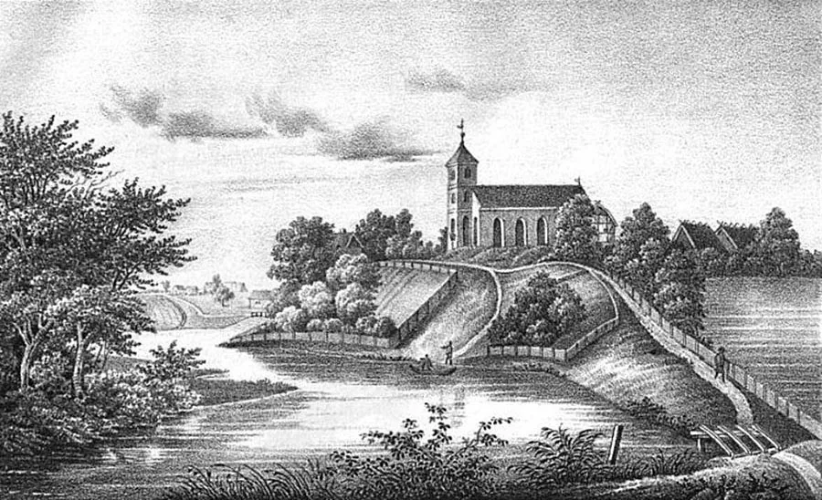
The fortress, surrounded by a deep water-filled moat, consisted of the castle and the outer bailey (Vorburg), likewise separated by a moat. The castle consisted of one or two wings surrounded by a defensive wall. Measured along the parcham, it was roughly 60x60 m. The wings were built of stone, and only the window openings, the wall walk and the inner facing of the walls were of brick. The walls were up to 1.7–1.75 m thick. At least the west wing had deep vaulted cellars, discovered in 1818. The castle was connected to the outer bailey by a drawbridge. A castle chapel is mentioned as early as 1314. The outer bailey was small, roughly 60x90 metres, with residential and farm buildings.
Rudau Castle housed one of the eight Sambian Kammerämter, centres of the treasury and tax collection. During Lithuanian raids the local people took refuge behind its walls. Lithuanian detachments did not often try to storm such refuges.
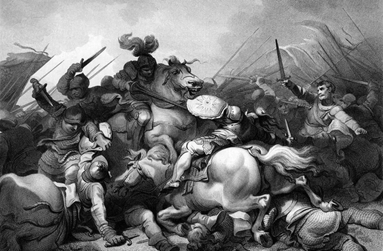
The most significant historical event in this area was the Battle of Rudau on 17 February 1370. It took place north of Rudau, between Transsau (Ozerovo) and Mülsen (Kholmy). Two Lithuanian armies under Kęstutis and Algirdas invaded Prussia. Kęstutis's troops approached Rudau from the south, from Ortelsburg, while Algirdas's army, with his son Jogaila and Kęstutis's son Vytautas, crossed the ice of the Curonian Lagoon. After joining forces they approached Rudau and plundered and burned the surrounding area. Grand Master Winrich von Kniprode, aware of the coming invasion, had stationed part of his forces in a camp near the Quednau hill, covering the castle and the towns. (At that time the union of Altstadt, Kneiphof and Löbenicht was still a long way off!) On the morning of 17 February a great fire was seen from the hill to the north. The Order's Marshal Henning Schindekopf set out to reconnoitre with twenty horsemen and, having captured a prisoner, found out where the Lithuanian armies were. A message arrived from the Grand Master that he would come with reinforcements in a few days. Schindekopf did not wait for help and quickly advanced with his troops towards Rudau.
The Lithuanian army considerably outnumbered the Order's. Some seven thousand Lithuanians faced about four thousand militiamen led by knights of the Order.
The left wing of the Lithuanians was commanded by Algirdas, the right by Kęstutis. The Order's troops attacked the Lithuanians, and a fierce battle broke out. By noon neither side had the advantage. In the afternoon Schindekopf struck his main blow against Algirdas. The Lithuanian prince, fearing for the lives of his son and nephew, sent them to the rear. His warriors took this for a retreat, lost heart and, after another attack by the knights of the Order, fled. Having dealt with the left flank, the Order's troops routed Kęstutis as well. During the battle Schindekopf was wounded in the face by a spear, and after the battle, on his way to Königsberg, he died near Quednau at the Matzkallen inn. The pursuit of the retreating enemy went on until dark; the Lithuanians suffered heavy losses (according to some sources, up to five thousand men). The Order's troops also suffered great losses. Twenty-six knights of the Order fell on the battlefield, among them the Komtur of Brandenburg, Kuno von Hattenstein, as well as 200 mounted warriors and a large number of militiamen.
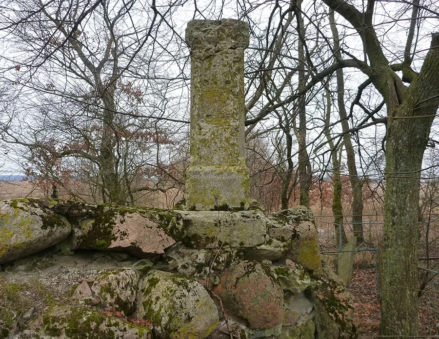
In honour of those who fell at Rudau, Winrich von Kniprode ordered two chapels to be built, one in Laptau and the other in Rudau, and a memorial stone obelisk was erected on the battlefield (the photo above shows its version renewed in 1835, which survives to this day).
After the secularisation of the Order, in the mid-16th century, the administration of the local Kammeramt, merged with the Kammeramt of Pobethen–Grünhoff, remained in the hands of the Hundertmark family for more than two centuries.
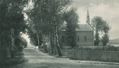
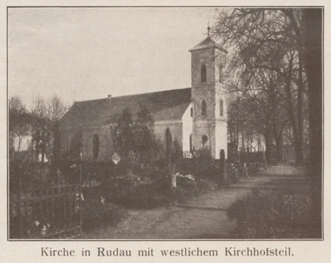
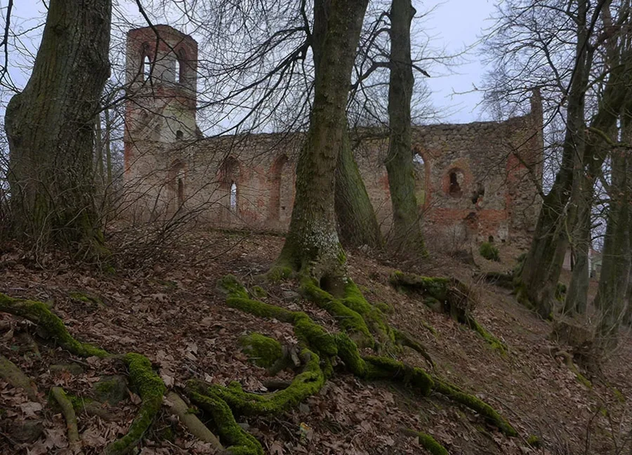
By the end of the 16th century the castle had become decrepit and lost its defensive importance. Some of its rooms were taken apart. The partly preserved wing was converted into a church. The church itself was plastered inside and out. For this reason some researchers (Erich Weise, Dechio/Gall) believed that the church had been built in 1354 next to the fortress. Most likely this refers to the castle chapel. Moreover, in Catholic times churches were built oriented east–west, whereas this one runs north–south. Others (Friedrich Borcherd) argued that only the foundations, lying in the ground, were left of the castle. But at the end of the 20th century the plaster began to fall away rapidly, and in 1999, during an inspection of the church, small windows and doors were discovered on the east wall (facing the courtyard); they had been bricked up later, when the surviving castle wing was being converted into a church. During the conversion the castle windows and entrance were bricked up and new large, tall windows were cut. On the outside of the wing, where the plaster has fallen off, Gothic blind windows and small bricked-up windows, also Gothic, can be seen. That not the whole wing but only part of it was used for the church is evident from the south wall, to which a tower was added in 1820. This wall is half as thick as the west, north and east walls that remain from the time of the Order. The remains of the wing measure 35.15x11.14 m.
Exactly when the castle wing was converted into a church is unknown. On 17 January 1818 the church was destroyed by a hurricane. By 1820 it had been restored. In the process the deep cellars left from the castle were discovered. They were filled in with sand.
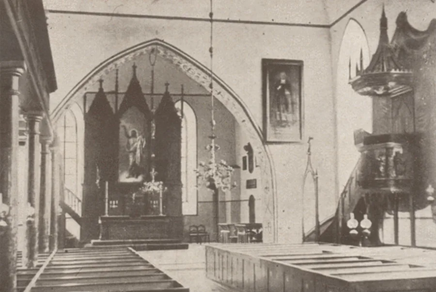
Inside the church the remains of the vaulted storeys were completely levelled. A new three-storey tower was built. A sacristy was added on the north-east and a porch on the west. A cemetery was laid out in the castle courtyard; the remains of the walls around its perimeter served as the cemetery fence.
After the events of spring 1945 the church was practically intact. Settlers looking for communion wine started digging and came upon the filled-in cellars. There the search ended. Until the 1980s the church building was used as a grain dryer. Lack of repairs and care led to the destruction of the tiled roofing. The roof began to leak, and the building was abandoned. The cemetery in the castle courtyard was cleared and asphalted, and its grounds were used as a storage yard. By the end of the 1990s the whole roof had collapsed. The walls of the castle wing and the remains of deep moats on the east have survived. The foundations of the castle walls are clearly visible around the perimeter. For a fuller picture of what the castle looked like, archaeological excavations are needed.
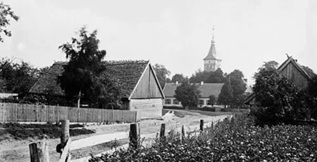
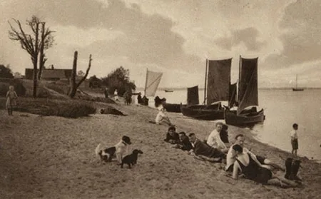
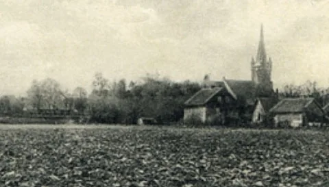
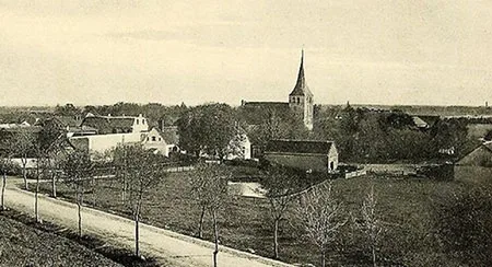
Illustrations on this page: 1–3. Bildarchiv Ostpreußen, bildarchiv-ostpreussen.de. 4–5. Mikhail Ogorodnikov.
Translated from Russian with the help of AI (Claude, Anthropic), October 2026.