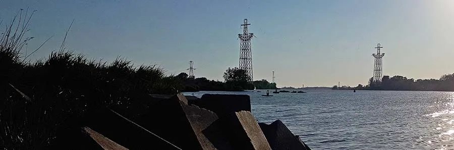
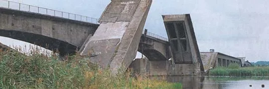
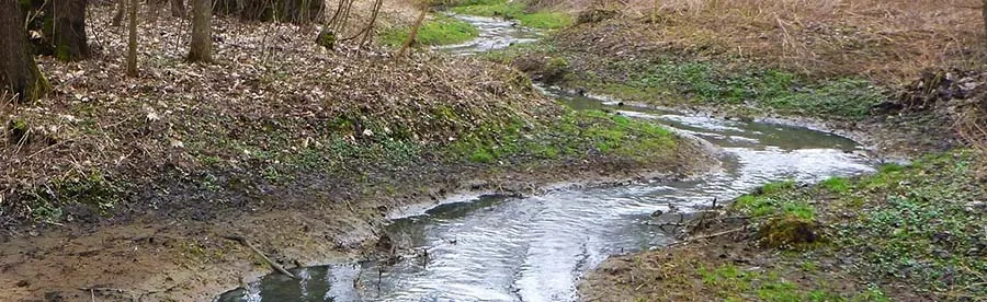
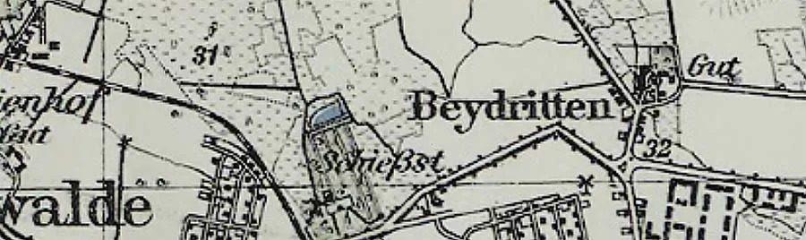
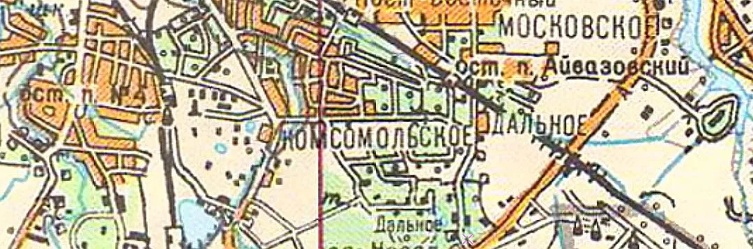
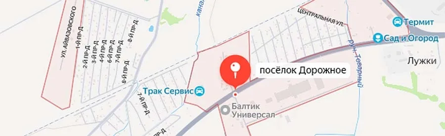
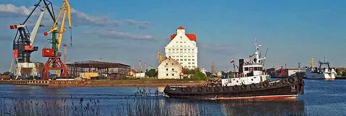
Where the Kaliningrad Sea Shipping Canal begins
The districts beyond the Vorstadt where the Main Station, now called the South Station, was built
To the north by north-west
The easternmost district of the Innenstadt (inner city), where Königsberg's poor lived and multiplied
A settlement in the eastern part of the city on the bank of the Pregolya
Between Kosse and Hufen
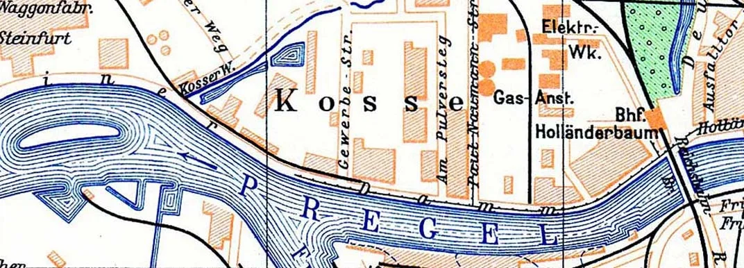
An industrial district on the banks of the Pregel
Two in one: a special economic zone and a cultural cluster
A trading district of Königsberg north of the castle
On the way out of the city along the old Svetlogorsk road
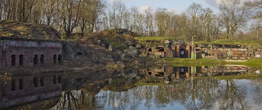
At the end of Sovetsky Prospekt, by Fort No. 5
Alley of the Brave south of the bridge over the railway
A knight's estate east of Königsberg
Along a beautiful river in the southern part of the city
North of Max Aschmann Park
On the way out of the city along Podpolkovnika Yemelyanova Street, next to Fort No. 12 Eulenburg and Fort No. 11 Dönhoff
A settlement south of Kaliningrad that was once part of Königsberg
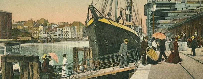
The port was the backbone of Königsberg's economy
A low-lying district in the south-west of Kaliningrad whose old German name translates as Wet Garden
The south-western outskirts of the city, known to most Kaliningraders thanks to the busy road towards the EU border
A mill, a grain elevator, a carriage works, a rock club, a marina, the local mecca of coffee brewing — there is so much here!
A district north-east of the centre, between today's Nevskogo and Gagarina streets
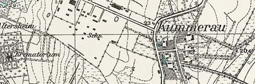
Today this is the site of the Emergency Hospital and the Catholic church of St Adalbert, behind which there was a crematorium before the Second World…
A settlement that grew up thanks to the mill built here
An old village that became a popular city district
A villa colony on the shore of the Upper Pond.
A brewers' village that became a district of Königsberg
This site stores only your settings in your browser — interface language and font size. No tracking, no advertising.