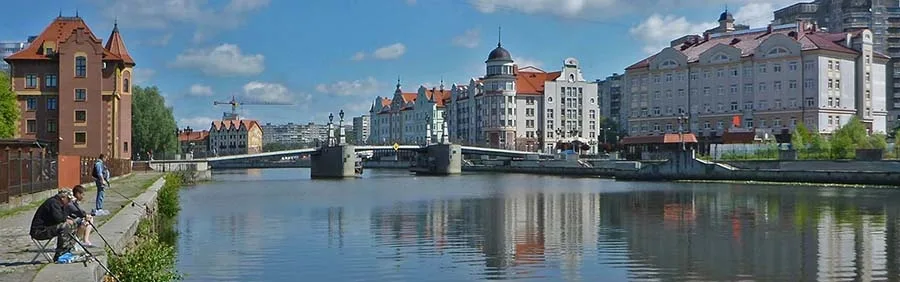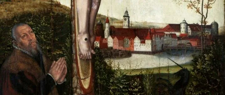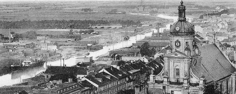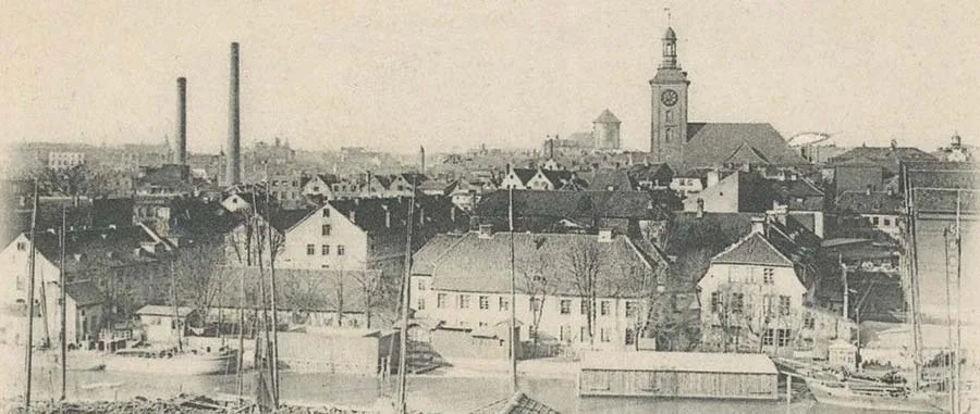
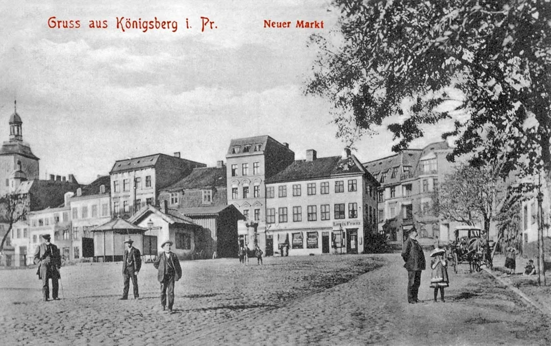
The modest farming town of Löbenicht (Löbenicht) long had no market square of its own. Only when Löbenicht's old Sackheim Gate (Sackheimsche Thor), also known as the Cabbage Gate (Kohltor), fell under the blows of the pickaxe 27 years after the unification of the three Pregel towns and their associated territories (in 1752) was it decided to set up a New Market (Neue Markt) in the Löbenicht Steegen1 (Steegen).
The proximity of the Löbenicht (to the west) and Sackheim (to the east) Watering Lanes (Löbenictsche und Sackheimer Tränkgasse) suggests that local residents once led their cattle here to drink. But not horses. Those the people of Löbenicht grazed in Rossgarten (Roßgarten), north of the town.
The New Market could boast a whole row of surviving old Baroque houses framing the square on its northern and eastern sides. During haymaking huge heaps of fragrant hay, brought to Königsberg from the Lithuanian meadows, often lay in the market.
Although from the north, where Piglet Lane (Ferkelgasse), later renamed Holländergasse, led from the Anger (Anger) to the market, the noise of the big city with its roaring cars and rattling trams could be heard, it was always quiet in the New Market.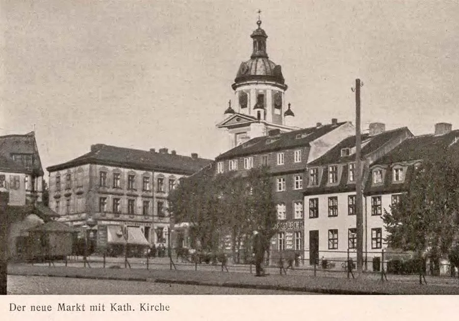 View across the New Market towards the Catholic church.
Sitting by the river, one could ignore the street sounds, which seemed to come from another world, feeling sheltered by the cosy little houses whose windowsills were decorated with flowers. The young linden trees added to the sense of security.
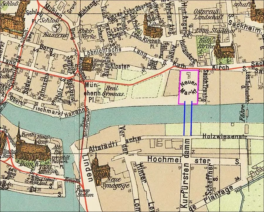 The New Market and the planned bridge to the Kurfürstendamm in Lomse on a city map of the late 19th century.
Long before 1900 there was a plan to build a bridge from the New Market to Lomse (Lomse), and the city authorities were determined to carry it out.
At the dawn of the 20th century huge new residential districts grew up on the opposite bank, built in the tasteless and monotonous style common at the time. The widest and most generously landscaped street, the Kurfürstendamm (Kurfürstendamm), reached the bank of the Pregel directly opposite the New Market, at the spot intended for the construction of the new bridge.
The First World War thwarted these plans. Moreover, technology developed much faster than had been expected around 1900, when the first motorised vehicles appeared. As a result, in 1935 it was decided to build a new bridge much further upstream, beyond Lauth (Lauth, Palmburger Brücke / Palmburg Bridge), thanks to which the New Market remained the quiet, idyllic corner we remember.
NOTE
1. In Low German and Dutch, Steegen means "lanes" or "alleys". Today (2026) this is the area of the "leaning high-rise" on Moskovsky Prospekt.
Translated from Russian with the help of AI (Claude, Anthropic), October 2026.