Pancake Corners
By the 20th century1 only two “Pancake Corners” (Der Flinsenwinkel / Flinsenwinkel) survived in Königsberg. One was in Haberberg, the other in Sackheim. Of course, only the locals called them that, among themselves.
The first was officially called Thomasgasse, and it could be reached from Unterhaberberg street by turning into Große Sandgasse (Gr. Sandgasse) or via Schafgasse (Sheep Lane).
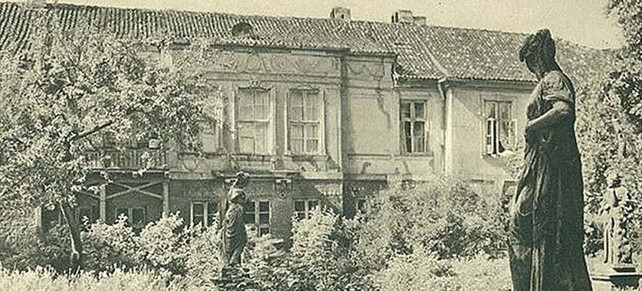
The second lane-corner was in Sackheim; it went by the name of Friedmannstraße and led to the wall of the old garrison hospital. The hospital had been built on land that was once the garden of the old Dönhoff estate. This “Pancake Corner” could be reached from Königstraße along Steile Straße (Steep Street).
Both “Pancake Corners” were also popularly called Kehrwiedergasse (“Turn-back Lane”)2, as dead ends used to be called in northern Germany. Both often became the scene of fierce battles between the street toughs of Haberberg and Sackheim.
“Pancake Corner” sounds appetising, to say the least: which of us does not feel our mouth water at the thought of our delicious East Prussian pancakes, be they potato, flour, apple or rice? The mere thought of them brings back the sweet, enticing aroma rising from the frying pan.
Buds' Corner
“Buds' Corner” (Der Knospenwinkel / Knospenwinkel) was what slang-loving Königsbergers called the gloomy, dead-end-like stretch of Voigdtstraße in Sackheim. The street got its official name in honour of a local pastor, to whom a memorial plaque was even dedicated on the house where he had lived, at Sackheimer Kirchenstraße 18:
“Dr. Karl Ferdinand Voigdt. 1804–1887.
In memory of the founder of the East Prussian
Gustav Adolf Society”3.
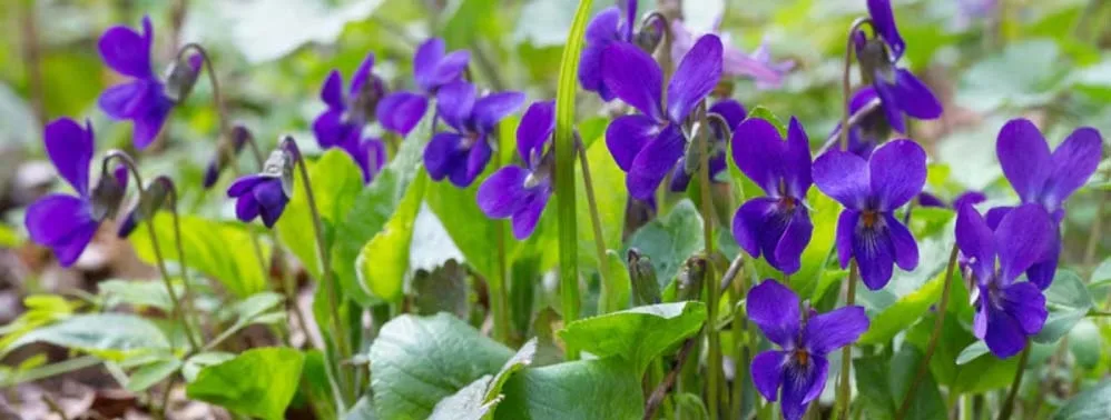
This stretch of Voigdtstraße came to be called “Buds' Corner” because of the elderly women who lived there and liked to call themselves “old buds” – the popular name, as often happens, became quite widespread.
Quiet Corners
Near Königsberg's fortress walls and gates there were four lovely quiet spots. The fortifications themselves have a long history of their own that deserves a separate article.
These corners are connected with them and are meant to remind us of the beauty of our beloved city.
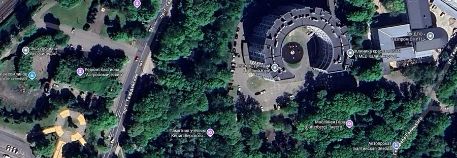
The first was not far from the Ausfall Gate, next to the Observatory Bastion (Bastion Sternwarte). Here the Königsberg parks department created a delightful rock garden. For some reason it was especially pleasant to visit on warm spring days.
The second is the magnificent rose garden by the ramparts between the King's and Rossgarten gates, on the bank of the moat. It could be reached via Litauer Wallstraße, then through the casemate tunnel (Kasemattentunnel) or over the Wooden Bridge (Holzbrücke) spanning the moat from the King's Gate. Here, on hot summer days, there was a delightful coolness, and visitors were enveloped in the sweet, heavy scent of countless roses.
The third item on our list of quiet corners is the rose garden laid out on the former Earthwork E (Erdwerk E) in Maraunenhof. From the elevation, surrounded on all sides by water, one could admire the magnificent flower beds that began to appear here from 1910, and especially in the notorious 1920s.
The fourth corner could be reached through the King's Gate, or better through the Sackheim Gate, and then along the fortifications beside the Kupfergraben brook to the Copper Pond. The inhabitants of Sackheim came to this green area to relax – a district short of greenery but surrounded on all sides by rows of absurd buildings of the Gründerzeit4.
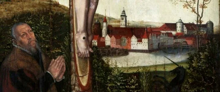
I mean the fortifications right above the river Pregel. Below, closer to the city, the old casemates of the Lithuanian Bastion served as a boat station, but from above there was a memorable view of the green meadows, Lomse Island and the towers of the old city on the Pregel.
Nearest of all, the pretty little tower of the Royal Orphanage peeped out from behind the houses, with a Prussian eagle on its spire.
It was the only weathervane that the authorities did not dismantle and replace with the imperial Russian double-headed eagle during the first Russian rule in Königsberg (1758-1762). The reasons for this are not known to us. Perhaps it was because the eagle spread only one wing while the other was lowered? Or perhaps because the weathervane turned with the wind? Be that as it may, it was a weathervane that worked properly right to the very end.
In our green corner, in the exhausting summer heat, visitors were refreshed by the smell of fresh hay and the breeze from the Pregel. Everywhere reigned a peace hardly disturbed by the joyful cries of playing children.
Hare's Corner in the Cabbage Field
If you walked from the Rossgarten Market (Roßgärter Markt) down Mittelanger, turned into Hinteranger with its many old Baroque houses, and then into Kohlgasse (Cabbage Lane), you came to a large courtyard paved with multicoloured (so-called “sweetie”) cobbles (Bonbonpflaster). It is surrounded by old vine-covered houses hidden in greenery, with gas lamps, as well as half-timbered sheds and stables. Officially this corner was called the Löbenicht Stadthof (Löbenichtscher Stadthof), but colloquially it was “Hare's Corner” (Der Kohlhasenwinkel / Hare's Corner in the Cabbage Field), although the days of the cabbage fields that in the Middle Ages stretched beyond the Löbenicht Cabbage Gate (Löbenichter–Kohlthor), the Sackheim Gate and the Krönchen Gate (Krönchentor), just outside the city walls, were long gone. And with them, the days of the hares that kept visiting them.
Carts loaded with all sorts of goods often stood here, and tired horses, in the silence of this secluded corner, drowsily lowered their heads.
Not infrequently one could also see an artist with an easel here, capturing one view or another that unfolded before him.
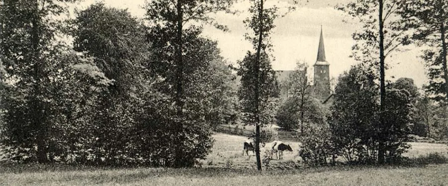
Indeed, visitors to this idyllic place were greeted by a charming sight: from behind the eastern fence peeped the low dome of the garden pavilion of the Catholic Church, which in appearance resembled the slightly larger pavilion by the Imperial Bridge (Kaiserbrücke) – both were built in the Baroque-Classicist style. Above the greenery of the garden rose the imposing dome of the Catholic Church, balanced by the magnificent spire of the neighbouring Sackheim Church, built in 1771. Its spire was in the Rococo style and crowned with a large gilded weathervane in the form of the Lamb of God, gleaming in the sun. On the other, western side, the admiring gaze came upon the exquisitely proportioned spire of the Löbenicht Church of St Barbara, which served as the final accent of the whole idyllic picture.
NOTES
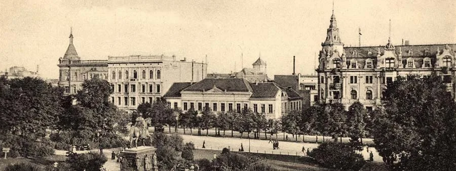
1. Theatre Street (Theaterstraße), which linked Junkerstraße with Parade Square (Paradeplatz), was also a dead end until the early 19th century and is called Kehrwieder on the official maps of the time (see below), so it too could have been called a “Pancake Corner”.
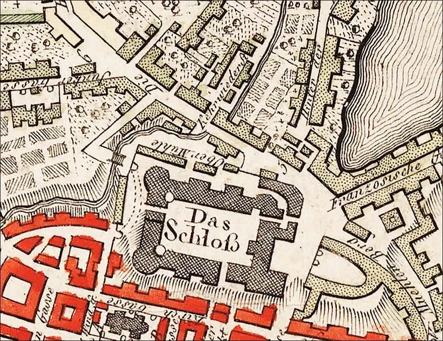 Kehrwiederstraße (Turn-back Street), the future Theaterstraße, north of the castle on a map of 1800.
2. Kehrwieder is a German word that can be translated as “Come back!”. It is also the name of an island on the Elbe in the port of Hamburg, which was once an island. There are two theories about the origin of the island's name: one most probable, the other beautiful.
Kehrwieder used to mean a road leading to a dead end. The island lay in a far corner of the port, and anyone who went there had to come back the same way. This is certainly the explanation of the name's origin. But the island was also the place where the people of Hamburg came to say goodbye to sailors leaving on long voyages. Those seeing them off shouted from the shore: “Come back!” (Kehrwieder!)
3. Dr. Carl Ferdinand Voigdt. 1804–1887.
Dem Vater des ostpreußischen
Gustav-Adolf-Vereins zum Gedächtnis.
4. Gründerzeit – the “founders' period” (in Germany after the Franco-Prussian War of 1870–71)
LEGENDS OF PRUSSIA on the blog of Tatyana Kolivay.
Translated from Russian with the help of AI (Claude, Anthropic), October 2026.